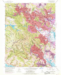
1954 Map of San Rafael
USGS Topo · Published 1969About this map
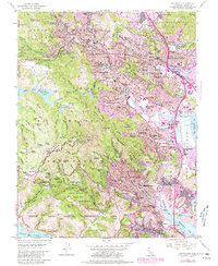
Mt Tamalpais Cemetery and the rising slopes of Mt Tamalpais anchor this survey of Marin County, capturing the suburban expansion and protected landscapes of the mid-20th century. The transition from the dense urban corridors of San Rafael and San Anselmo to the managed wilderness of the Game Refuge and Mount Tamalpais State Park is clearly defined. Along the eastern edge, the purple-tinted updates of the late 1960s show the rapid development of residential areas like Santa Venetia and Green Brae nearing the shoreline of San Francisco Bay.
Find a feature on this map
163 named features on this map. Tap any name to fly to it.
Don’t see what you’re looking for? This feature index may not catch every label — zoom into the map to look around manually.
Map Details
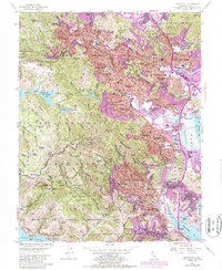
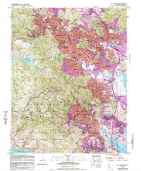
Editions of this 1954 San Rafael Map
7 editions found
Other maps of this area

1895 · San Francisco
USGS Topo · 1:62,500

1897 · Tamalpais
USGS Topo · 1:62,500

1899 · San Francisco
USGS Topo · 1:62,500

1902 · Napa
USGS Topo · 1:125,000

1914 · Petaluma
USGS Topo · 1:62,500

1915 · San Francisco
USGS Topo · 1:62,500

1916 · Mare Island
USGS Topo · 1:62,500

1941 · Tamalpais
USGS Topo · 1:62,500

1942 · Mare Island
USGS Topo · 1:62,500

1942 · Petaluma
USGS Topo · 1:62,500