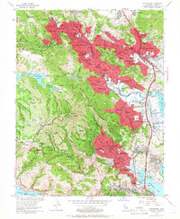
1954 Map of San Rafael
USGS Topo · Published 1966About this map
Mt Tamalpais anchors this mid-century portrait of Marin County, where the peaks of the coast range meet the expanding suburban corridors of the 1950s. The map documents the rapid development following the opening of the Redwood Highway, as residential red-tinted zones spread through San Anselmo, Larkspur, and Corte Madera. Along the Northwestern Pacific RR, established communities are shown alongside institutional landmarks like the San Francisco Theological Seminary and Dominican College.
Find a feature on this map
83 named features on this map. Tap any name to fly to it.
Don’t see what you’re looking for? This feature index may not catch every label — zoom into the map to look around manually.
Map Details
Editions of this 1954 San Rafael Map
7 editions found
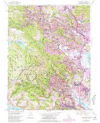
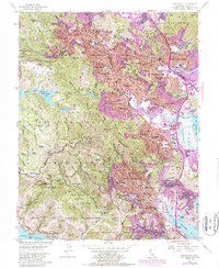
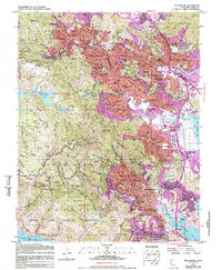
Other maps of this area

1895 · San Francisco
USGS Topo · 1:62,500

1897 · Tamalpais
USGS Topo · 1:62,500

1899 · San Francisco
USGS Topo · 1:62,500

1902 · Napa
USGS Topo · 1:125,000

1914 · Petaluma
USGS Topo · 1:62,500

1915 · San Francisco
USGS Topo · 1:62,500

1916 · Mare Island
USGS Topo · 1:62,500

1941 · Tamalpais
USGS Topo · 1:62,500

1942 · Mare Island
USGS Topo · 1:62,500

1942 · Petaluma
USGS Topo · 1:62,500