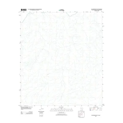
2013 Map of San Rosendo
USGS Topo · Published 2013About this map
The Rio Grande cuts across the northern reaches of this borderlands territory, carving a distinct hydrological boundary through the landscape. This 2013 survey of the San Rosendo quadrangle illustrates a highly dissected terrain defined by a complex network of ephemeral drainages and arroyos. Unlike more developed regions, the area is characterized by its natural drainage patterns flowing toward the international waterway, with very few man-made structures or named landmarks present on the topographic sheet. The map serves as a study in physical geography and fluvial processes along the United States and Mexico border, where the river remains the primary geographic feature of note.
Find a feature on this map
1 named feature on this map. Tap any name to fly to it.
Don’t see what you’re looking for? This feature index may not catch every label — zoom into the map to look around manually.
Map Details
Editions of this 2013 San Rosendo Map
This is the sole edition of this map. No revisions or reprints were ever made.
Other maps of this area

1918 · Reagan Canyon
USGS Topo · 1:62,500

1918 · Bullis Gap
USGS Topo · 1:62,500

1918 · Indian Wells
USGS Topo · 1:62,500

1959 · Emory Peak
USGS Topo · 1:250,000

1965 · Emory Peak
USGS Topo · 1:250,000
1983 · Las Vegas De Los Ladrones SW
USGS Topo · 1:24,000
1983 · Bullis Gap
USGS Topo · 1:24,000
1983 · Beef Gap
USGS Topo · 1:24,000
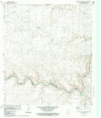
1983 · Panther Gulch West
USGS Topo · 1:24,000
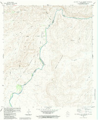
1983 · Las Vegas De Los Ladrones
USGS Topo · 1:24,000