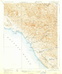
1919 Map of San Simeon
USGS Topo · Published 1931About this map
The Hearst Ranch and the coastal settlement of San Simeon anchor this 1917 survey of the central California coast, captured before the development of modern Highway 1. The landscape is defined by the steep transition from the Pacific Ocean to the Santa Lucia Range, where the rugged terrain of Piedra Blanca meets the Santa Rosa Valley. This era shows a working coastline where Leffingwell Landing provided a maritime outlet for inland resources.
Find a feature on this map
61 named features on this map. Tap any name to fly to it.
Don’t see what you’re looking for? This feature index may not catch every label — zoom into the map to look around manually.
Map Details
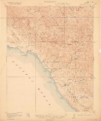
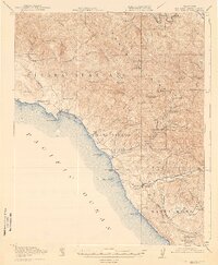
Editions of this 1919 San Simeon Map
4 editions found
Other maps of this area

1897 · Cayucos
USGS Topo · 1:62,500

1900 · San Luis
USGS Topo · 1:125,000

1919 · Bryson
USGS Topo · 1:62,500

1919 · Bradley
USGS Topo · 1:62,500

1919 · Adelaida
USGS Topo · 1:62,500

1919 · Piedras Blancas
USGS Topo · 1:62,500

1919 · San Simeon
USGS Topo · 1:62,500

1921 · Cape San Martin
USGS Topo · 1:62,500

1927 · Piedras Blancas
USGS Topo · 1:62,500

1932 · Adelaida
USGS Topo · 1:62,500