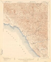
1919 Map of San Simeon
USGS Topo · Published 1943About this map
The coastal interface of the Santa Lucia Range and the Pacific Ocean defines this territory during a period of established ranching and quicksilver mining. Hearst Ranch and the Old Castro House occupy the northern coast near San Simeon Bay, a landscape where cattle operations and early coastal landings like Leffingwell Landing formed the backbone of the local economy. The interior mountains are marked by industrial extraction, notably the Oceanic Mine and the Cambria Mine, which along with several abandoned sites like the Keystone Mine, point to the region's history as a significant source of cinnabar.
Find a feature on this map
75 named features on this map. Tap any name to fly to it.
Don’t see what you’re looking for? This feature index may not catch every label — zoom into the map to look around manually.
Map Details
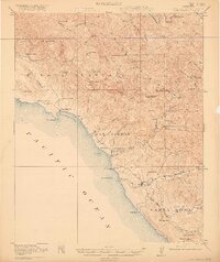
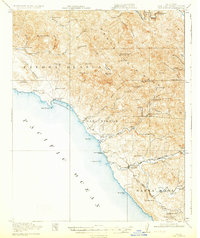
Editions of this 1919 San Simeon Map
4 editions found
Other maps of this area

1897 · Cayucos
USGS Topo · 1:62,500

1900 · San Luis
USGS Topo · 1:125,000

1919 · Bryson
USGS Topo · 1:62,500

1919 · Bradley
USGS Topo · 1:62,500

1919 · Adelaida
USGS Topo · 1:62,500

1919 · Piedras Blancas
USGS Topo · 1:62,500

1919 · San Simeon
USGS Topo · 1:62,500

1921 · Cape San Martin
USGS Topo · 1:62,500

1927 · Piedras Blancas
USGS Topo · 1:62,500

1932 · Adelaida
USGS Topo · 1:62,500