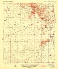
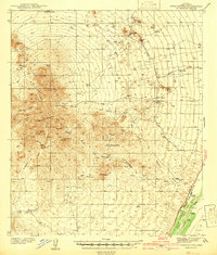
1943 Map of San Xavier Mission
USGS Topo · Published 1943About this map
The San Xavier del Bac Mission stands as a focal point in this early 1940s survey of the Sonoran landscape southwest of Tucson. The territory is defined by the sharp transition from the Santa Cruz River valley to the heights of the Tucson Mountains. Large swaths of land are designated as the San Xavier Indian Reservation and the Papago Indian Reservation, reflecting the region's deep indigenous heritage.
Find a feature on this map
27 named features on this map. Tap any name to fly to it.
Don’t see what you’re looking for? This feature index may not catch every label — zoom into the map to look around manually.
Map Details
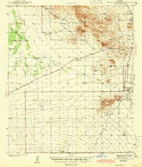
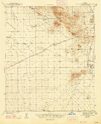
Editions of this 1943 San Xavier Mission Map
3 editions found
Other maps of this area
1904 · Patagonia
USGS Topo · 1:125,000
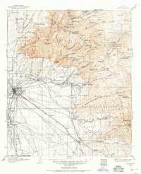
1904 · Tucson
USGS Topo · 1:125,000
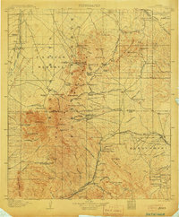
1905 · Patagonia
USGS Topo · 1:125,000
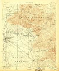
1905 · Tucson
USGS Topo · 1:125,000
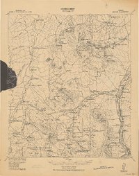
1920 · Arivaca
USGS Topo · 1:125,000
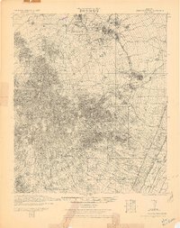
1925 · Samaniego Peak
USGS Topo · 1:62,500
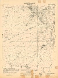
1925 · San Xavier
USGS Topo · 1:62,500
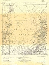
1926 · Helvetia
USGS Topo · 1:62,500
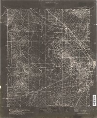
1934 · Tucson Mountains
USGS Topo · 1:125,000
1939 · Twin Buttes
USGS Topo · 1:62,500