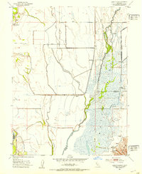
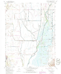
1952 Map of Sanborn Slough
USGS Topo · Published 1953About this map
Butte Sink dominates this interior California landscape, revealing a complex network of wetlands and seasonal waterways at the junction of Colusa, Butte, and Sutter counties. The hydrology is defined by the wandering paths of Butte Creek and Drumheller Slough, which feed into the vast marshy expanse south of the Sutter Buttes. This 1952 survey highlights the area's established role as a premier waterfowl habitat, evidenced by a dense concentration of private hunting grounds such as the Sanborn Slough Gun Club and the Wild Goose Country Club. Settlement is sparse in this flood-prone basin, marked primarily by rural infrastructure like the Harmony Sch (Aban'd) and scattered agricultural improvements. Along the western edge, the Sacramento River flows behind protective levees, while the interior shows the early presence of Gas Wells and the industrial drainage of the Cherokee Canal.
Find a feature on this map
30 named features on this map. Tap any name to fly to it.
Don’t see what you’re looking for? This feature index may not catch every label — zoom into the map to look around manually.
Map Details
Editions of this 1952 Sanborn Slough Map
5 editions found
Other maps of this area

1888 · Marysville
USGS Topo · 1:125,000

1891 · Marysville
USGS Topo · 1:125,000

1894 · Marysville
USGS Topo · 1:125,000

1895 · Marysville
USGS Topo · 1:125,000

1906 · Maxwell
USGS Topo · 1:62,500

1907 · Colusa
USGS Topo · 1:62,500

1911 · Sanborn Slough
USGS Topo · 1:31,680

1911 · Landlow
USGS Topo · 1:31,680

1912 · Marysville Buttes
USGS Topo · 1:31,680

1912 · Butte City
USGS Topo · 1:31,680