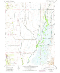
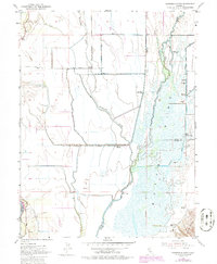
1952 Map of Sanborn Slough
USGS Topo · Published 1974About this map
The Butte Sink dominates this interior California landscape, where the waters of Butte Creek and Sanborn Slough create a complex marshland environment on the borders of Colusa and Sutter Counties. This 1952 topographic survey, with 1973 updates, reveals the intensive development of the area for waterfowl hunting, evidenced by a high density of private sporting camps such as the Sanborn Slough Gun Club, California Duck Club, and the Wild Goose Country Club. The presence of these clubs, alongside features like The Berry Patch, highlights the historical role of the wetlands as a hub for local recreational economy.
Find a feature on this map
29 named features on this map. Tap any name to fly to it.
Don’t see what you’re looking for? This feature index may not catch every label — zoom into the map to look around manually.
Map Details
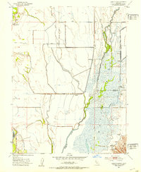
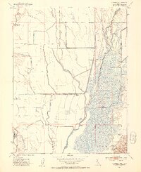
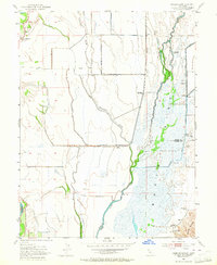
Editions of this 1952 Sanborn Slough Map
5 editions found
Other maps of this area

1888 · Marysville
USGS Topo · 1:125,000

1891 · Marysville
USGS Topo · 1:125,000

1894 · Marysville
USGS Topo · 1:125,000

1895 · Marysville
USGS Topo · 1:125,000

1906 · Maxwell
USGS Topo · 1:62,500

1907 · Colusa
USGS Topo · 1:62,500

1911 · Sanborn Slough
USGS Topo · 1:31,680

1911 · Landlow
USGS Topo · 1:31,680

1912 · Marysville Buttes
USGS Topo · 1:31,680

1912 · Butte City
USGS Topo · 1:31,680