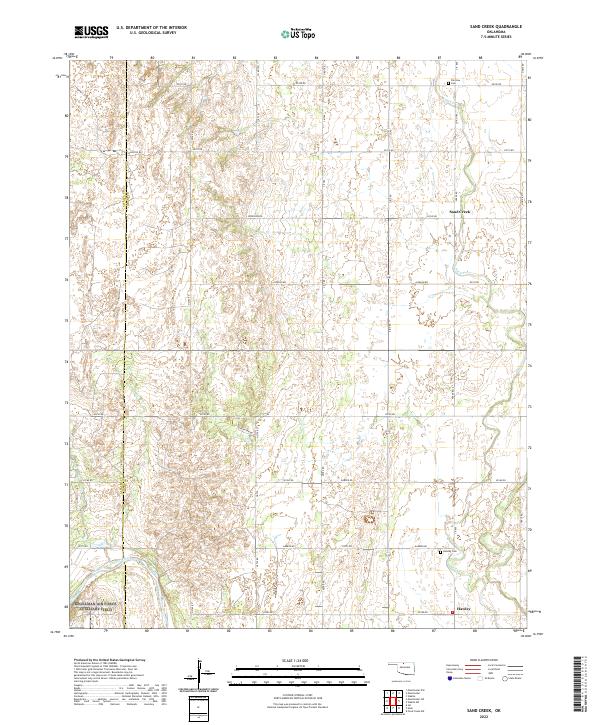
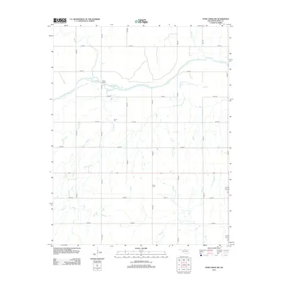
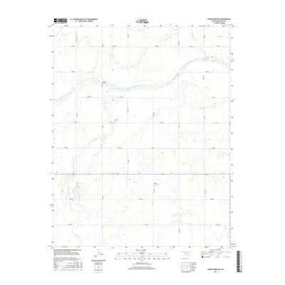
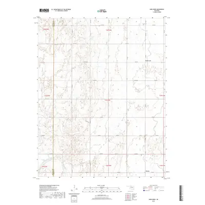
2022 Map of Sand Creek
USGS Topo · Published 2022About this map
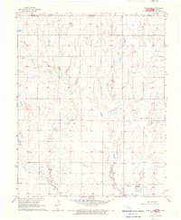
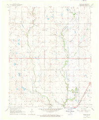
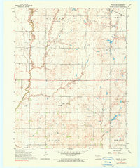
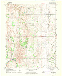
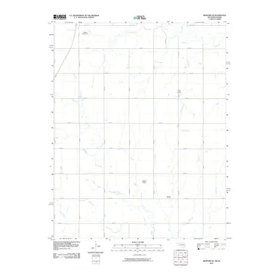
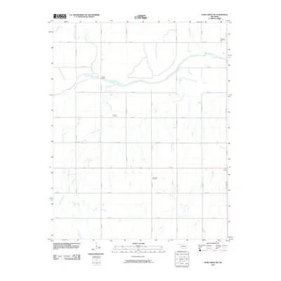
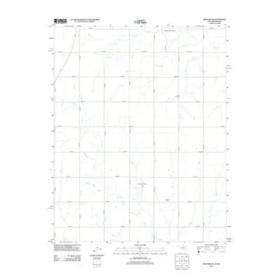
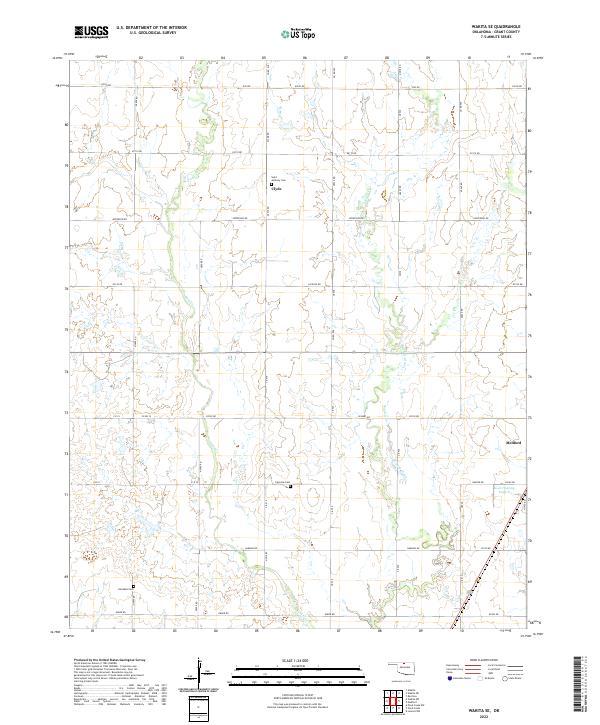
Sand Creek and the southern settlement of Hawley anchor this rural landscape in north-central Oklahoma. The terrain is characterized by the broad course of the Salt Fork Arkansas River as it cuts through the southwestern portion of the sheet, while Sand Creek meanders across the northeast. This area, divided by the Alfalfa and Grant county line, reflects a long-standing agricultural grid pattern defined by roads such as Jefferson Rd and Harper Rd. Genealogists will find notable points of interest at Fairview Cem and Hawley Cem, which serve as permanent markers of the families who settled this prairie. The landscape also features smaller natural water sources like Sarah Spring, illustrating the importance of water management in this part of the state.
Find a feature on this map
44 named features on this map. Tap any name to fly to it.
Don’t see what you’re looking for? This feature index may not catch every label — zoom into the map to look around manually.
Map Details
Editions of this 2022 Sand Creek Map
This is the sole edition of this map. No revisions or reprints were ever made.
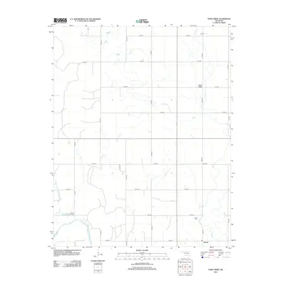
Historical Maps of Hawley Through Time
42 maps found
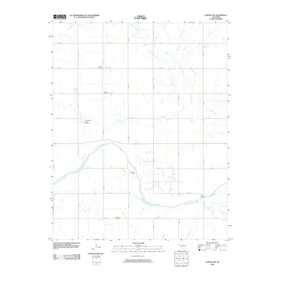
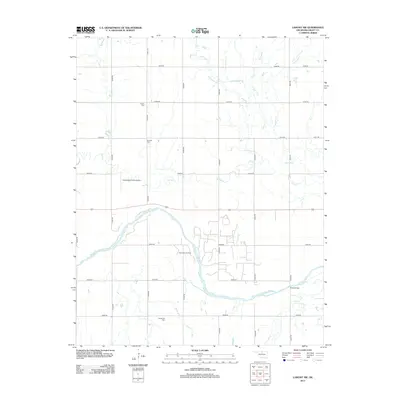
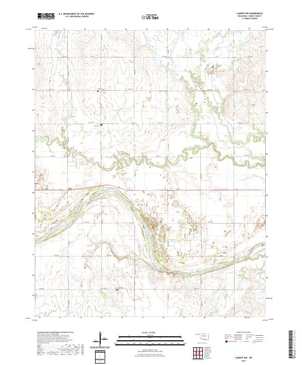
1968 Lamont NW
Grant County, OK
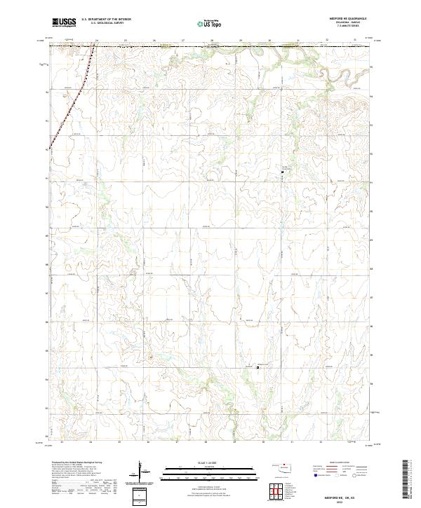
1968 Medford NE
Grant County, OK
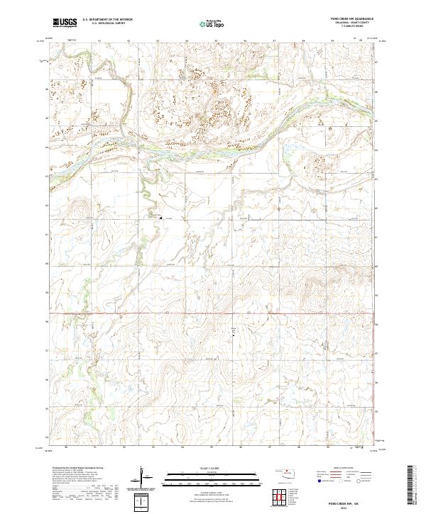
1968 Pond Creek NW
Grant County, OK
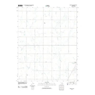
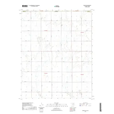
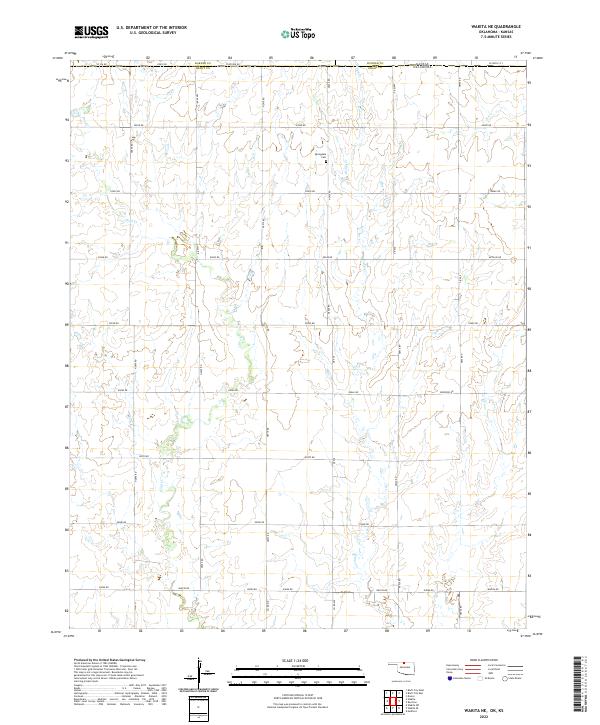
1968 Wakita NE
Grant County, OK
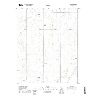
1968 Wakita SE
Grant County, OK
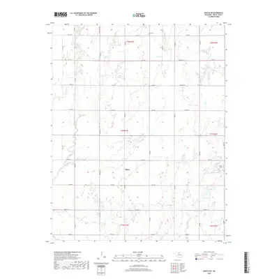
1968 Wakita SW
Grant County, OK
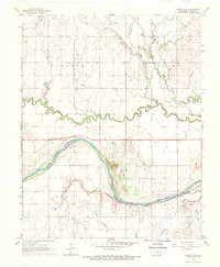
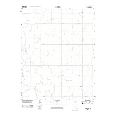
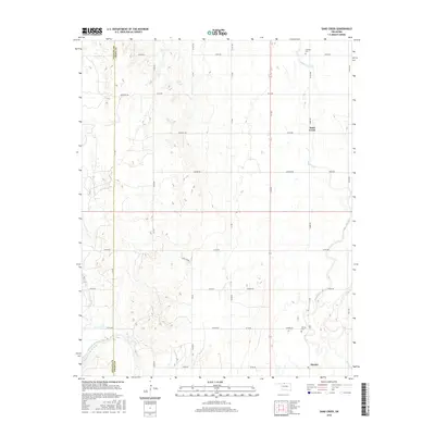
1969 Sand Creek
Grant County, OK
2009 Lamont NW
Grant County, OK
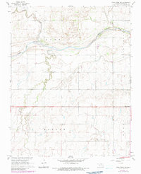
2009 Sand Creek
Grant County, OK
2009 Wakita SE
Grant County, OK
2009 Wakita SW
Grant County, OK
2010 Medford NE
Grant County, OK
2010 Pond Creek NW
Grant County, OK
2010 Wakita NE
Grant County, OK
2012 Medford NE
Grant County, OK
2012 Pond Creek NW
Grant County, OK
2012 Sand Creek
Grant County, OK
2012 Wakita NE
Grant County, OK
2012 Wakita SE
Grant County, OK
2012 Wakita SW
Grant County, OK
2013 Lamont NW
Grant County, OK
2016 Lamont NW
Grant County, OK
2016 Medford NE
Grant County, OK
2016 Pond Creek NW
Grant County, OK
2016 Sand Creek
Grant County, OK
2016 Wakita NE
Grant County, OK
2016 Wakita SE
Grant County, OK
2016 Wakita SW
Grant County, OK
2018 Lamont NW
Grant County, OK
2018 Medford NE
Grant County, OK
2018 Pond Creek NW
Grant County, OK
2018 Sand Creek
Grant County, OK
2018 Wakita NE
Grant County, OK
2018 Wakita SE
Grant County, OK
2018 Wakita SW
Grant County, OK
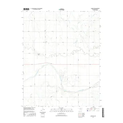
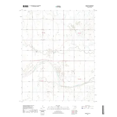
2022 Lamont NW
Grant County, OK
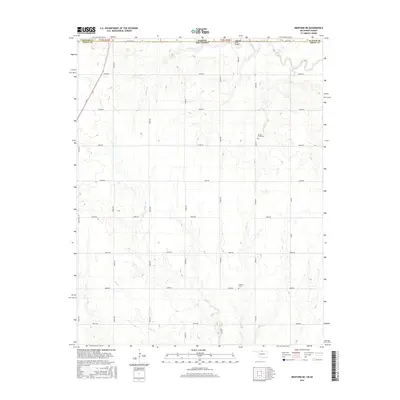
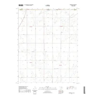
2022 Medford NE
Grant County, OK
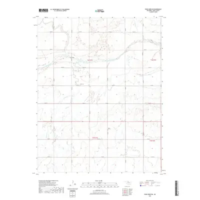
2022 Pond Creek NW
Grant County, OK
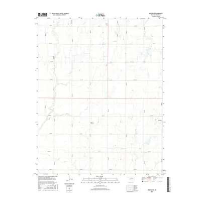
2022 Sand Creek
Grant County, OK
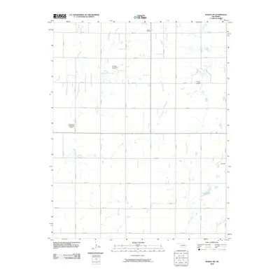
2022 Wakita NE
Grant County, OK
2022 Wakita SE
Grant County, OK
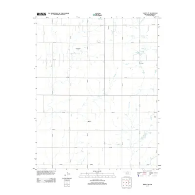
2022 Wakita SW
Grant County, OK