
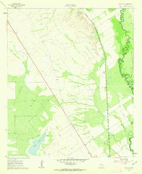
1961 Map of Sand Lake
USGS Topo · Published 1963About this map
The Pecos River carves a winding path along the eastern border of this West Texas landscape, marking the boundary between Reeves Co and Ward Co. In the early 1960s, this arid region was characterized by its industrial and agricultural infrastructure, notably the Panhandle and Santa Fe railroad line running parallel to the river. The presence of the Patrole Sch and the Lara Cem suggests a small, dispersed community sustained by the local geography and the proximity to the water.
Find a feature on this map
12 named features on this map. Tap any name to fly to it.
Don’t see what you’re looking for? This feature index may not catch every label — zoom into the map to look around manually.
Map Details
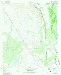
Editions of this 1961 Sand Lake Map
3 editions found
Other maps of this area

1921 · Toyah
USGS Topo · 1:125,000

1931 · Barstow
USGS Topo · 1:125,000

1954 · Pecos
USGS Topo · 1:250,000

1957 · Pecos
USGS Topo · 1:250,000

1961 · Soda Lake
USGS Topo · 1:24,000

1961 · Mentone
USGS Topo · 1:24,000

1961 · Anderson Ranch
USGS Topo · 1:24,000

1963 · Pecos East
USGS Topo · 1:24,000

1967 · Soda Lake NW
USGS Topo · 1:24,000

1968 · Mentone SW
USGS Topo · 1:24,000