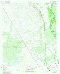
1961 Map of Sand Lake
USGS Topo · Published 1981About this map
Sand Lake anchors the southwestern corner of this West Texas landscape, where the flat basin meets the winding course of the Pecos River. The map captures a high-desert environment defined by the boundary between Reeves Co and Ward Co, characterized by a complex network of industrial development and early rural infrastructure. The eastern bank of the river is notably distinct from the western flats, showing the serpentine meanders of the water as it cuts through the terrain.
Find a feature on this map
10 named features on this map. Tap any name to fly to it.
Don’t see what you’re looking for? This feature index may not catch every label — zoom into the map to look around manually.
Map Details
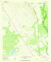
Editions of this 1961 Sand Lake Map
3 editions found
Other maps of this area

1921 · Toyah
USGS Topo · 1:125,000

1931 · Barstow
USGS Topo · 1:125,000

1954 · Pecos
USGS Topo · 1:250,000

1957 · Pecos
USGS Topo · 1:250,000

1961 · Soda Lake
USGS Topo · 1:24,000

1961 · Mentone
USGS Topo · 1:24,000

1961 · Anderson Ranch
USGS Topo · 1:24,000

1961 · Sand Lake
USGS Topo · 1:24,000

1963 · Pecos East
USGS Topo · 1:24,000

1967 · Soda Lake NW
USGS Topo · 1:24,000