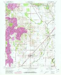
1958 Map of Sandborn
USGS Topo · Published 1981About this map
Sandborn and Marco anchor this 1958 survey of the White River valley as it appeared before major mid-century agricultural and industrial shifts. The landscape is heavily defined by an extensive drainage network, including Black Creek, Beehunter Ditch, and Calico Slash Ditch, which manage the low-lying terrain of the Green Cane Bottom. This hydrologic engineering supported a region where the Conrail and Chicago Milwaukee St Paul and Pacific railroads once converged, facilitating the transport of local resources.
Find a feature on this map
39 named features on this map. Tap any name to fly to it.
Don’t see what you’re looking for? This feature index may not catch every label — zoom into the map to look around manually.
Map Details
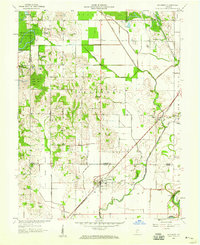
Editions of this 1958 Sandborn Map
2 editions found
Other maps of this area

1938 · Switz City
USGS Topo · 1:24,000

1940 · Linton
USGS Topo · 1:24,000

1943 · Lyons
USGS Topo · 1:24,000

1943 · Sandborn
USGS Topo · 1:24,000

1943 · Bicknell
USGS Topo · 1:24,000

1943 · Plainville
USGS Topo · 1:24,000

1943 · Dugger
USGS Topo · 1:24,000

1943 · Epsom
USGS Topo · 1:24,000

1944 · Bucktown
USGS Topo · 1:24,000

1947 · Switz City
USGS Topo · 1:24,000