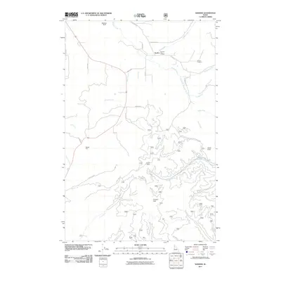
2011 Map of Sanders
USGS Topo · Published 2011About this map
The unincorporated community of Sanders serves as the focal point for this Benewah County landscape, where the northern Idaho panhandle transitions between agricultural creek bottoms and higher timbered elevations. Family and local history are anchored by the Mountain View Cemetery and Sanders Cemetery, both situated near the confluence of Hangman Creek and its many tributaries. The terrain is defined by prominent high points such as Nehchen Bluff, Holaki Knob, and Prospect Peak, which overlook a complex drainage network including Indian Creek and Mineral Creek.
Find a feature on this map
43 named features on this map. Tap any name to fly to it.
Don’t see what you’re looking for? This feature index may not catch every label — zoom into the map to look around manually.
Map Details
Editions of this 2011 Sanders Map
This is the sole edition of this map. No revisions or reprints were ever made.
Other maps of this area

1955 · Pullman
USGS Topo · 1:250,000

1955 · Spokane
USGS Topo · 1:250,000

1957 · Emida
USGS Topo · 1:62,500

1957 · Tensed
USGS Topo · 1:62,500

1958 · Spokane
USGS Topo · 1:250,000

1958 · Pullman
USGS Topo · 1:250,000

1960 · Potlatch
USGS Topo · 1:62,500

1961 · Deary
USGS Topo · 1:62,500

1981 · St Maries
USGS Topo · 1:100,000

1981 · Potlatch
USGS Topo · 1:100,000