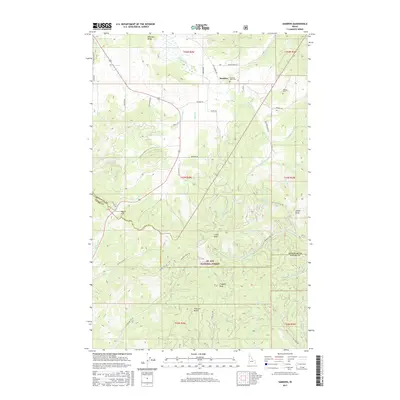
2017 Map of Sanders
USGS Topo · Published 2017About this map
Sanders sits at the intersection of rural timberlands and agriculture in northern Idaho, just north of the Benewah Co Latah Co border. The landscape is defined by the sharp transition from the open drainages of Hangman Cr and Mineral Cr into the protected timber of the St Joe National Forest to the south. Local heritage is centered around the two burial grounds, Mountain View Cem and Sanders Cem, which serve the families along Sanders Rd and Old Sanders Rd.
Find a feature on this map
57 named features on this map. Tap any name to fly to it.
Don’t see what you’re looking for? This feature index may not catch every label — zoom into the map to look around manually.
Map Details
Editions of this 2017 Sanders Map
This is the sole edition of this map. No revisions or reprints were ever made.
Other maps of this area

1955 · Pullman
USGS Topo · 1:250,000

1955 · Spokane
USGS Topo · 1:250,000

1957 · Emida
USGS Topo · 1:62,500

1957 · Tensed
USGS Topo · 1:62,500

1958 · Spokane
USGS Topo · 1:250,000

1958 · Pullman
USGS Topo · 1:250,000

1960 · Potlatch
USGS Topo · 1:62,500

1961 · Deary
USGS Topo · 1:62,500

1981 · St Maries
USGS Topo · 1:100,000

1981 · Potlatch
USGS Topo · 1:100,000