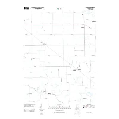
2013 Map of Sandford
USGS Topo · Published 2013About this map
The State Line Rd corridor marks the boundary between Illinois and Indiana, where the rural landscapes of Edgar and Vigo counties meet. This modern survey captures a region defined by agricultural heritage and extractive industry, most notably the Elbridge Oil Field and scattered mine-related water features like Shirkie Mine Pond and Green Valley Mine Pond. Small crossroad communities such as Sandford, Elbridge, and Libertyville serve as central points for local life, connected by a rigid grid of rural roads and secondary routes like E 1000th Rd and N 1900th St. Waterways including Sugar Cr and Indian Cr carve through the farm acreage, providing natural drainage for the surrounding fields. The map documents the persistent identity of these border settlements, from the western edge at Marley to the eastern reach of Easytown.
Find a feature on this map
88 named features on this map. Tap any name to fly to it.
Don’t see what you’re looking for? This feature index may not catch every label — zoom into the map to look around manually.
Map Details
Editions of this 2013 Sandford Map
This is the sole edition of this map. No revisions or reprints were ever made.
Other maps of this area

1932 · Marshall
USGS Topo · 1:62,500

1937 · Marshall
USGS Topo · 1:62,500

1941 · Terre Haute
USGS Topo · 1:24,000

1942 · Dennison
USGS Topo · 1:24,000

1947 · Paris
USGS Topo · 1:62,500

1948 · Terre Haute
USGS Topo · 1:24,000

1949 · Paris
USGS Topo · 1:62,500

1950 · New Goshen
USGS Topo · 1:24,000

1950 · Sandford
USGS Topo · 1:24,000

1951 · Clinton
USGS Topo · 1:24,000