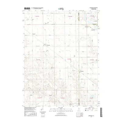
2016 Map of Sandford
USGS Topo · Published 2016About this map
Sandford sits directly on the state line in this mid-2010s survey, straddling the border between Illinois and Indiana where the rural grids of Edgar County and Vigo County meet. The landscape is defined by the winding course of Sugar Creek and its many tributaries, including McCalls Br and West Little Sugar Creek, which cut through the rectilinear farm fields. This area is notably dense with small family and community burial grounds, preserving local names such as Blackburn, Pryor, Gymon, and Stults.
Find a feature on this map
64 named features on this map. Tap any name to fly to it.
Don’t see what you’re looking for? This feature index may not catch every label — zoom into the map to look around manually.
Map Details
Editions of this 2016 Sandford Map
This is the sole edition of this map. No revisions or reprints were ever made.
Other maps of this area

1932 · Marshall
USGS Topo · 1:62,500

1937 · Marshall
USGS Topo · 1:62,500

1941 · Terre Haute
USGS Topo · 1:24,000

1942 · Dennison
USGS Topo · 1:24,000

1947 · Paris
USGS Topo · 1:62,500

1948 · Terre Haute
USGS Topo · 1:24,000

1949 · Paris
USGS Topo · 1:62,500

1950 · New Goshen
USGS Topo · 1:24,000

1950 · Sandford
USGS Topo · 1:24,000

1951 · Clinton
USGS Topo · 1:24,000