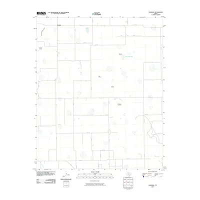
2010 Map of Sandhill
USGS Topo · Published 2010About this map
Sandhill sits atop the high plains of Floyd County, where the agricultural landscape is defined by an extensive grid of country roads and intermittent watercourses. The local hydrology is characterized by ephemeral features like Running Water Draw, Callahan Draw, and the upper reaches of the White River, which winds south toward W F Daniel Lake Dam. These drainages, often dry in this part of Texas, are vital markers in a landscape otherwise dominated by industrial-scale farming.
Find a feature on this map
31 named features on this map. Tap any name to fly to it.
Don’t see what you’re looking for? This feature index may not catch every label — zoom into the map to look around manually.
Map Details
Editions of this 2010 Sandhill Map
This is the sole edition of this map. No revisions or reprints were ever made.
Other maps of this area

1954 · Lubbock
USGS Topo · 1:250,000

1954 · Plainview
USGS Topo · 1:250,000

1958 · Plainview
USGS Topo · 1:250,000

1965 · Petersburg
USGS Topo · 1:24,000

1965 · Lockney SE
USGS Topo · 1:24,000

1965 · Cone
USGS Topo · 1:24,000

1965 · Floydada
USGS Topo · 1:24,000

1965 · Lockney
USGS Topo · 1:24,000

1965 · Floydada SE
USGS Topo · 1:24,000

1965 · Sandhill
USGS Topo · 1:24,000