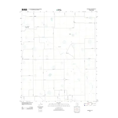
2012 Map of Sandhill
USGS Topo · Published 2012About this map
Sandhill sits at the northern edge of this Floyd County landscape, serving as a focal point in an area defined by the high plains water systems of the Texas Panhandle. The geography is characterized by the meandering path of the White River, which is joined by intermittent drainage features including Running Water Draw and Callahan Draw. These waterways provide essential relief to the dry agricultural terrain, leading toward distinctive landmarks such as Bois d'Arc Lake. A network of ranch roads and section lines, like Ranch Road 784 and Farm-to-Market Road 37, provides the primary infrastructure for the region. Scattered throughout the quadrangle are named water-pumping points like Bois d'Arc Windmill, West Windmill, and South Windmill, highlighting the critical importance of groundwater management for the local ranching and farming operations.
Find a feature on this map
40 named features on this map. Tap any name to fly to it.
Don’t see what you’re looking for? This feature index may not catch every label — zoom into the map to look around manually.
Map Details
Editions of this 2012 Sandhill Map
This is the sole edition of this map. No revisions or reprints were ever made.
Other maps of this area

1954 · Lubbock
USGS Topo · 1:250,000

1954 · Plainview
USGS Topo · 1:250,000

1958 · Plainview
USGS Topo · 1:250,000

1965 · Petersburg
USGS Topo · 1:24,000

1965 · Lockney SE
USGS Topo · 1:24,000

1965 · Cone
USGS Topo · 1:24,000

1965 · Floydada
USGS Topo · 1:24,000

1965 · Lockney
USGS Topo · 1:24,000

1965 · Floydada SE
USGS Topo · 1:24,000

1965 · Sandhill
USGS Topo · 1:24,000