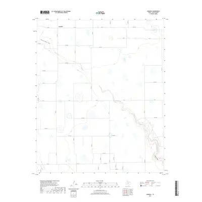
2019 Map of Sandhill
USGS Topo · Published 2019About this map
The high plains of Floyd County are defined here by the headwaters of the White River, which carves a distinct path southeast toward the dramatic terrain of Blanco Canyon. This region is centered on the rural community of Sandhill, situated at the intersection of FM 784 and FM 378. The landscape is a mix of agricultural grid roads and natural drainage features, including the aptly named Running Water Draw and several intermittent basins like Bois d'Arc Lake. Further south, the map traces the beginning of the rugged descent into the canyonlands where Crawfish Cr joins the larger drainage system. The road network, dominated by farm-to-market routes and numbered county roads, illustrates the transition from the flat Llano Estacado plains into the more broken geography of the Caprock escarpment.
Find a feature on this map
38 named features on this map. Tap any name to fly to it.
Don’t see what you’re looking for? This feature index may not catch every label — zoom into the map to look around manually.
Map Details
Editions of this 2019 Sandhill Map
This is the sole edition of this map. No revisions or reprints were ever made.
Other maps of this area

1954 · Lubbock
USGS Topo · 1:250,000

1954 · Plainview
USGS Topo · 1:250,000

1958 · Plainview
USGS Topo · 1:250,000

1965 · Petersburg
USGS Topo · 1:24,000

1965 · Lockney SE
USGS Topo · 1:24,000

1965 · Cone
USGS Topo · 1:24,000

1965 · Floydada
USGS Topo · 1:24,000

1965 · Lockney
USGS Topo · 1:24,000

1965 · Floydada SE
USGS Topo · 1:24,000

1965 · Sandhill
USGS Topo · 1:24,000