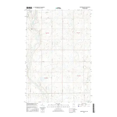
2016 Map of Sandstone South
USGS Topo · Published 2016About this map
Kettle River drainage dominates this Pine County landscape, winding south from the city of Sandstone and creating a complex network of wetlands and tributaries. The water system includes the Kettle River Reservoir and Big Spring Falls, feeding into a terrain marked by numerous creeks such as Bear Cr, Fox Cr, and Deer Cr. Near the northern boundary, Spring Park Cem and the settlement of Maple Island provide specific points of interest for local historians and genealogists.
Find a feature on this map
37 named features on this map. Tap any name to fly to it.
Don’t see what you’re looking for? This feature index may not catch every label — zoom into the map to look around manually.
Map Details
Editions of this 2016 Sandstone South Map
This is the sole edition of this map. No revisions or reprints were ever made.
Other maps of this area

1950 · Grantsburg
USGS Topo · 1:48,000

1953 · Duluth
USGS Topo · 1:250,000

1953 · Stillwater
USGS Topo · 1:250,000

1955 · Stillwater
USGS Topo · 1:250,000

1958 · Stillwater
USGS Topo · 1:250,000

1958 · Duluth
USGS Topo · 1:250,000

1961 · Sandstone
USGS Topo · 1:62,500

1961 · Pine City
USGS Topo · 1:62,500

1962 · Cloverdale
USGS Topo · 1:62,500

1962 · Grantsburg
USGS Topo · 1:62,500