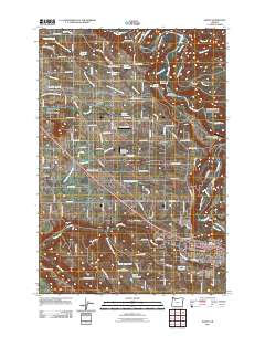
2011 Map of Sandy
USGS Topo · Published 2011About this map
Sandy serves as the primary hub in this 2011 survey, situated where the terrain begins its transition toward the Cascade foothills. The landscape is defined by a dense network of waterways, most notably the winding Sandy River and its numerous tributaries including Tickle Creek, Deep Creek, and Beaver Creek. The map documents a blend of established residential areas and rural infrastructure, evidenced by multiple private air strips such as the Flying K Bar J Ranch Airstrip and Schmidt Airport. Small historical settlements and road junctions like Boring, Orient, and Peterson Crossroads provide clear markers of the region's development patterns. Local genealogy and land use are further anchored by features such as the Fir Hill Cemetery and numerous water management sites including the Sandy Reservoirs and Lusted Reservoir.
Find a feature on this map
115 named features on this map. Tap any name to fly to it.
Don’t see what you’re looking for? This feature index may not catch every label — zoom into the map to look around manually.
Map Details
Editions of this 2011 Sandy Map
This is the sole edition of this map. No revisions or reprints were ever made.
Other maps of this area

1911 · Boring
USGS Topo · 1:48,000

1914 · Boring
USGS Topo · 1:62,500

1916 · Estacada
USGS Topo · 1:125,000

1918 · Troutdale
USGS Topo · 1:62,500

1934 · Troutdale
USGS Topo · 1:48,000

1940 · Boring
USGS Topo · 1:62,500

1941 · Camas
USGS Topo · 1:62,500

1942 · Camas
USGS Topo · 1:62,500

1948 · Vancouver
USGS Topo · 1:250,000

1950 · Vancouver
USGS Topo · 1:250,000