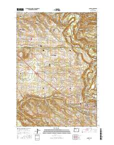
2017 Map of Sandy
USGS Topo · Published 2017About this map
The Sandy River winds through the northeastern portion of this landscape, separating Indian John Island from the mainland as the terrain descends toward the river valley. The map documents a transition from the urban edge of Gresham into a mosaic of rural communities and agricultural lands. Small settlements like Orient, Pleasant Home, and Cottrell are clustered along historic transportation routes such as the SE Mount Hood Loop.
Find a feature on this map
155 named features on this map. Tap any name to fly to it.
Don’t see what you’re looking for? This feature index may not catch every label — zoom into the map to look around manually.
Map Details
Editions of this 2017 Sandy Map
This is the sole edition of this map. No revisions or reprints were ever made.
Other maps of this area

1911 · Boring
USGS Topo · 1:48,000

1914 · Boring
USGS Topo · 1:62,500

1916 · Estacada
USGS Topo · 1:125,000

1918 · Troutdale
USGS Topo · 1:62,500

1934 · Troutdale
USGS Topo · 1:48,000

1940 · Boring
USGS Topo · 1:62,500

1941 · Camas
USGS Topo · 1:62,500

1942 · Camas
USGS Topo · 1:62,500

1948 · Vancouver
USGS Topo · 1:250,000

1950 · Vancouver
USGS Topo · 1:250,000