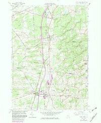
1958 Map of Sandy Creek
USGS Topo · Published 1983About this map
The villages of Sandy Creek and Lacona serve as the primary hubs in this corner of Jefferson and Oswego counties, following the Conrail rail line through the fertile lowlands. The landscape is a network of rural settlements like Pierrepont Manor and Mannsville, where the local economy and community life are grounded in the Sandy Creek Central Sch and the regional Fairground. To the east, the terrain rises toward the Winona State Forest, while the western reaches are defined by a series of waterways including South Branch Sandy Creek and Blind Creek. Genetic researchers and local historians can trace family locations through several burial sites such as Brewster Cem, Scripture Cem, and the Wesleyan Cemetery near Smartville. Modern revisions highlighted in purple track the expansion of transportation corridors and land use changes since the original mid-century survey.
Find a feature on this map
68 named features on this map. Tap any name to fly to it.
Don’t see what you’re looking for? This feature index may not catch every label — zoom into the map to look around manually.
Map Details
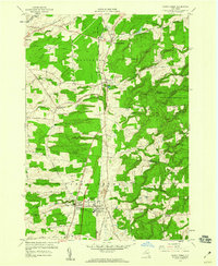
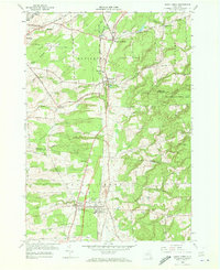
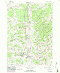
Editions of this 1958 Sandy Creek Map
4 editions found
Other maps of this area

1893 · Sackets Harbor
USGS Topo · 1:62,500

1895 · Sacketts Harbor
USGS Topo · 1:62,500

1895 · Pulaski
USGS Topo · 1:62,500

1895 · Watertown
USGS Topo · 1:62,500

1898 · Watertown
USGS Topo · 1:62,500

1903 · Orwell
USGS Topo · 1:62,500

1905 · Orwell
USGS Topo · 1:62,500

1908 · Watertown
USGS Topo · 1:62,500

1909 · Watertown
USGS Topo · 1:62,500

1942 · Sandy Creek
USGS Topo · 1:24,000