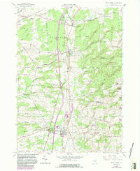
1958 Map of Sandy Creek
USGS Topo · Published 1983About this map
Pierrepont Manor and Mannsville anchor the northern landscape of this Jefferson and Oswego County border region during a period of steady growth. The village of Sandy Creek serves as a central hub, where the Conrail line runs parallel to the primary highway, linking the settled valley to Lacona and the Fairground. To the east, the terrain rises toward the Winona State Forest, a large expanse of upland conservation ground that stands in contrast to the agricultural valley floor.
Find a feature on this map
65 named features on this map. Tap any name to fly to it.
Don’t see what you’re looking for? This feature index may not catch every label — zoom into the map to look around manually.
Map Details
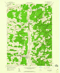
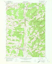
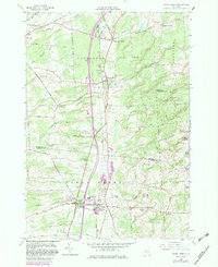
Editions of this 1958 Sandy Creek Map
4 editions found
Other maps of this area

1893 · Sackets Harbor
USGS Topo · 1:62,500

1895 · Sacketts Harbor
USGS Topo · 1:62,500

1895 · Pulaski
USGS Topo · 1:62,500

1895 · Watertown
USGS Topo · 1:62,500

1898 · Watertown
USGS Topo · 1:62,500

1903 · Orwell
USGS Topo · 1:62,500

1905 · Orwell
USGS Topo · 1:62,500

1908 · Watertown
USGS Topo · 1:62,500

1909 · Watertown
USGS Topo · 1:62,500

1942 · Sandy Creek
USGS Topo · 1:24,000