
1960 Map of Sanger
USGS Topo · Published 1961About this map
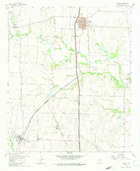
The Gulf Colorado and Santa Fe railroad corridor anchors this 1960s study of north-central Denton County, connecting the established town of Sanger with the smaller community of Krum to the south. The landscape is defined by the winding course of Clear Creek and its many tributaries, including Duck Creek and Moores Branch, which separate the rolling ranch lands and agricultural fields. Regional energy and resource extraction are evident through the Sanger Oil Field and Bolivar Oil Field, alongside numerous Gravel Pits scattered near the creek beds.
Find a feature on this map
36 named features on this map. Tap any name to fly to it.
Don’t see what you’re looking for? This feature index may not catch every label — zoom into the map to look around manually.
Map Details
Editions of this 1960 Sanger Map
4 editions found
Other maps of this area

1954 · Sherman
USGS Topo · 1:250,000

1958 · Sherman
USGS Topo · 1:250,000

1959 · Ponder
USGS Topo · 1:24,000

1960 · Green Valley
USGS Topo · 1:24,000
1960 · Denton East
USGS Topo · 1:24,000
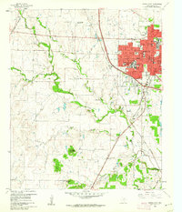
1960 · Denton West
USGS Topo · 1:24,000

1961 · Era
USGS Topo · 1:24,000
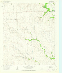
1961 · Era SE
USGS Topo · 1:24,000
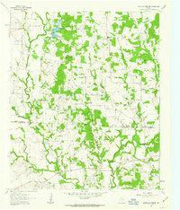
1961 · Mountain Springs
USGS Topo · 1:24,000

1961 · Valley View
USGS Topo · 1:24,000