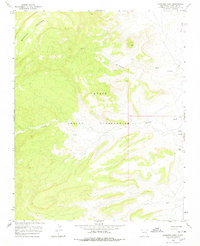
1966 Map of Sanostee West
USGS Topo · Published 1978About this map
Beautiful Mountain dominates the northwestern landscape of this mid-1960s study, its high elevations giving way to the complex drainage networks of the Navajo Indian Reservation. The terrain is defined by a series of significant arroyos and seasonal waterways, including Sanostee Wash, Tse-clani-to Wash, and Tocito Wash. These washes carve deep into the plateau, illustrating the erosion patterns characteristic of the San Juan County high desert.
Find a feature on this map
14 named features on this map. Tap any name to fly to it.
Don’t see what you’re looking for? This feature index may not catch every label — zoom into the map to look around manually.
Map Details
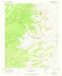
Editions of this 1966 Sanostee West Map
2 editions found
Other maps of this area

1889 · Chaco
USGS Topo · 1:250,000

1892 · Chaco
USGS Topo · 1:250,000

1892 · Canyon De Chelly
USGS Topo · 1:250,000

1934 · Ship Rock
USGS Topo · 1:62,500

1937 · Ship Rock
USGS Topo · 1:62,500

1953 · Sanostee
USGS Topo · 1:62,500

1953 · Redrock Valley SE
USGS Topo · 1:24,000

1953 · Redrock Valley
USGS Topo · 1:62,500

1954 · Shiprock
USGS Topo · 1:250,000

1955 · Sonsala Butte 1 SE
USGS Topo · 1:24,000