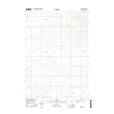
2015 Map of Sansarc
USGS Topo · Published 2015About this map
The small settlement of Sansarc anchors this 2015 survey of Stanley County, South Dakota. This interior prairie landscape is defined by the drainage of the N Fork Sansarc Cr and Sansarc Cr, which carve subtle topography through the high plains. The map reflects a deeply rural grid system where section lines dictate the path of local corridors such as Sansarc Rd and 192nd St. For local historians and genealogists, the Sansarc Cem serves as a critical point of reference for the families who settled this area of central South Dakota. The land is strictly divided into townships and ranges, including t7n r25e and t8n r26e, illustrating the enduring influence of the Public Land Survey System on the modern western landscape.
Find a feature on this map
15 named features on this map. Tap any name to fly to it.
Don’t see what you’re looking for? This feature index may not catch every label — zoom into the map to look around manually.
Map Details
Editions of this 2015 Sansarc Map
This is the sole edition of this map. No revisions or reprints were ever made.
Other maps of this area

1954 · Pierre
USGS Topo · 1:250,000

1956 · Alleman Station
USGS Topo · 1:24,000

1956 · Sansarc NE
USGS Topo · 1:24,000

1956 · Crockett Mountains
USGS Topo · 1:24,000

1958 · Pierre
USGS Topo · 1:250,000

1980 · Princes Ranch
USGS Topo · 1:25,000

1982 · Sansarc
USGS Topo · 1:24,000

1982 · Whiteman Ranch
USGS Topo · 1:24,000

1983 · Bentley Ranch
USGS Topo · 1:24,000

1983 · Hayes North
USGS Topo · 1:24,000