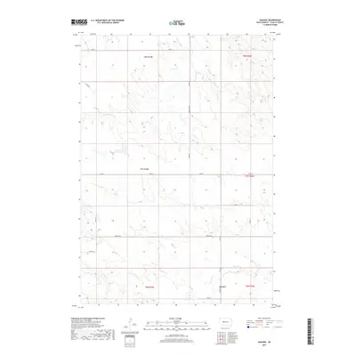
2017 Map of Sansarc
USGS Topo · Published 2017About this map
The community of Sansarc sits at the southern edge of this Stanley County landscape, centered near the intersection of Hayes Rd and 200th St. This area of central South Dakota is defined by the drainage basins of the Sansarc Cr and its upper reach, the N Fork Sansarc Cr, which carve through the plains. The presence of the Sansarc Cem near the townsite suggests the enduring location of local family heritage. The map details a strictly organized grid of sections and rural routes, including Sansarc Rd and Kirley Rd, that facilitate movement across this cattle-and-wheat country. To the west, the headwaters of Lone Tree Cr appear, marking the divide between small local watersheds in this section of the Great Plains.
Find a feature on this map
23 named features on this map. Tap any name to fly to it.
Don’t see what you’re looking for? This feature index may not catch every label — zoom into the map to look around manually.
Map Details
Editions of this 2017 Sansarc Map
This is the sole edition of this map. No revisions or reprints were ever made.
Other maps of this area

1954 · Pierre
USGS Topo · 1:250,000

1956 · Alleman Station
USGS Topo · 1:24,000

1956 · Sansarc NE
USGS Topo · 1:24,000

1956 · Crockett Mountains
USGS Topo · 1:24,000

1958 · Pierre
USGS Topo · 1:250,000

1980 · Princes Ranch
USGS Topo · 1:25,000

1982 · Sansarc
USGS Topo · 1:24,000

1982 · Whiteman Ranch
USGS Topo · 1:24,000

1983 · Bentley Ranch
USGS Topo · 1:24,000

1983 · Hayes North
USGS Topo · 1:24,000