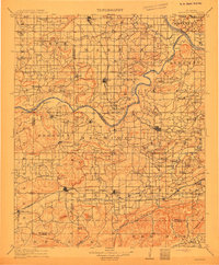
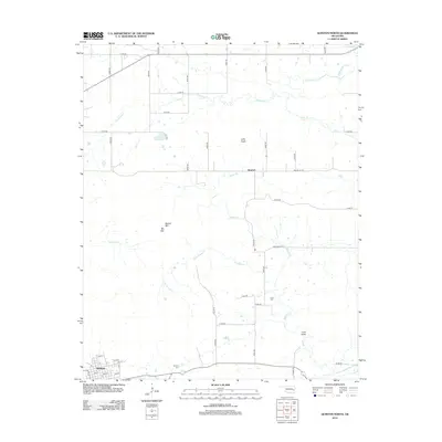
1911 Map of Sansbois
USGS Topo · Published 1911About this map
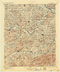
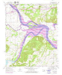
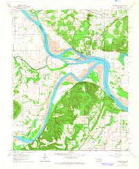
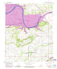
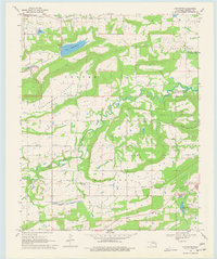
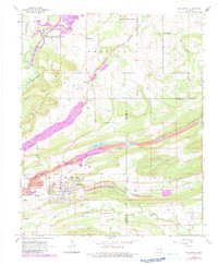
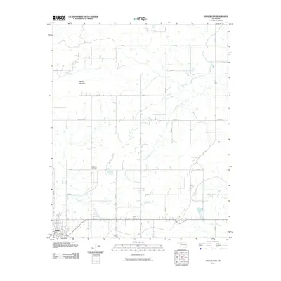
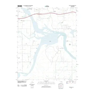
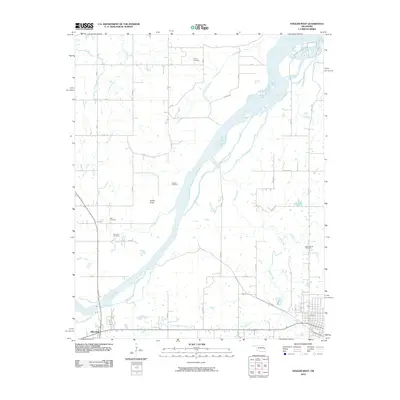
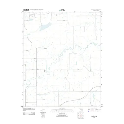
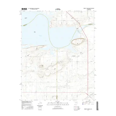
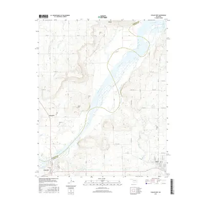
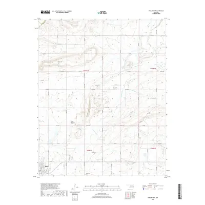
The Arkansas River and Canadian River define the northern and western reaches of this landscape, framing a region of eastern Oklahoma characterized by small agrarian settlements and numerous rural institutions. The 1909 cultural revision reveals a dense network of country schools and churches, including the notable Belle Starr School and Pope Chapel, which served the local farming communities. Transportation relies on the Fort Smith and Western Railroad passing through Quinton and Kinta, while further north, the Thornton Ferry provides a vital river crossing. The presence of varied terrain like Beaver Mtn and Tucker Knobs breaks up the township grids, while established centers like Stigler and Porum emerge as the primary hubs for commerce and social life in the early twentieth century.
Find a feature on this map
91 named features on this map. Tap any name to fly to it.
Don’t see what you’re looking for? This feature index may not catch every label — zoom into the map to look around manually.
Map Details
Editions of this 1911 Sansbois Map
3 editions found

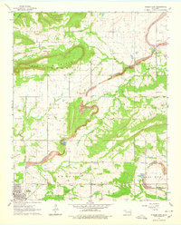
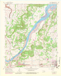
Historical Maps of Stigler Through Time
47 maps found

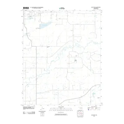
1909 Sans Bois
Haskell County, OK
1911 Sans Bois
Haskell County, OK
1962 Stigler East
Haskell County, OK
1962 Stigler West
Haskell County, OK
1963 Stigler NE
Haskell County, OK
1964 Stigler NE
Haskell County, OK
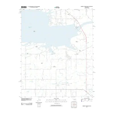
1967 Robert S Kerr Dam
Haskell County, OK
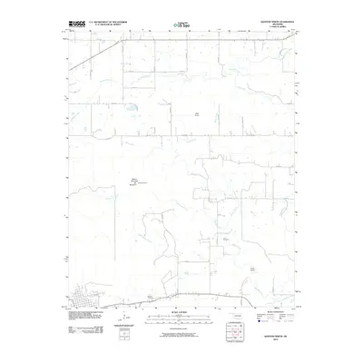
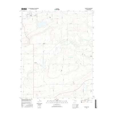
1968 Lafayette
Haskell County, OK
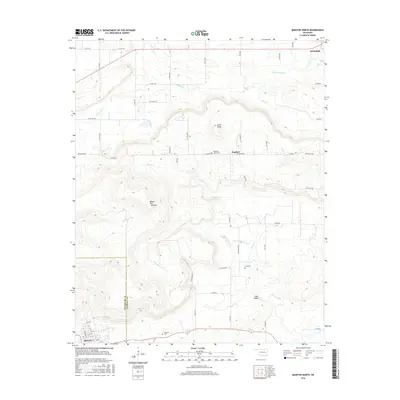
1968 Mc Curtain
Haskell County, OK
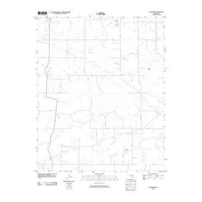
1969 Quinton North
Haskell County, OK
1969 Sans Bois
Haskell County, OK
1977 Mc Curtain
Haskell County, OK
2010 Lafayette
Haskell County, OK
2010 Quinton North
Haskell County, OK
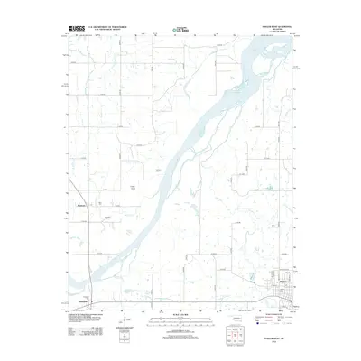
2010 Robert S Kerr Dam
Haskell County, OK
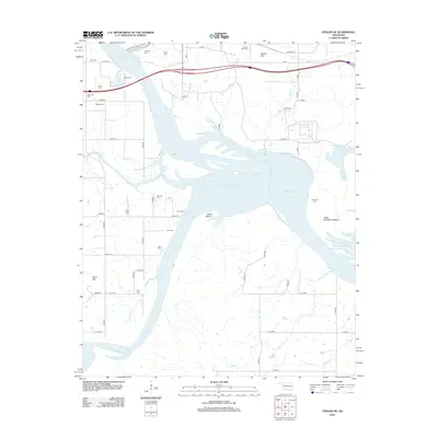
2010 Sans Bois
Haskell County, OK
2010 Stigler East
Haskell County, OK
2010 Stigler NE
Haskell County, OK
2010 Stigler West
Haskell County, OK
2012 Lafayette
Haskell County, OK
2012 Quinton North
Haskell County, OK
2012 Robert S Kerr Dam
Haskell County, OK
2012 Sans Bois
Haskell County, OK
2012 Stigler East
Haskell County, OK
2012 Stigler NE
Haskell County, OK
2012 Stigler West
Haskell County, OK
2016 Lafayette
Haskell County, OK
2016 Quinton North
Haskell County, OK
2016 Robert S Kerr Dam
Haskell County, OK
2016 Sans Bois
Haskell County, OK
2016 Stigler East
Haskell County, OK
2016 Stigler NE
Haskell County, OK
2016 Stigler West
Haskell County, OK
2018 Quinton North
Haskell County, OK
2018 Robert S Kerr Dam
Haskell County, OK
2018 Sans Bois
Haskell County, OK
2018 Stigler East
Haskell County, OK
2018 Stigler NE
Haskell County, OK
2018 Stigler West
Haskell County, OK
2019 Lafayette
Haskell County, OK
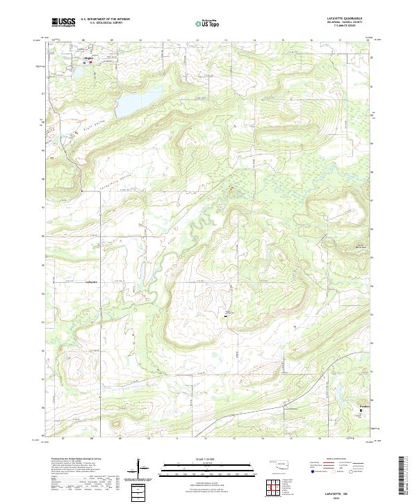
2022 Lafayette
Haskell County, OK
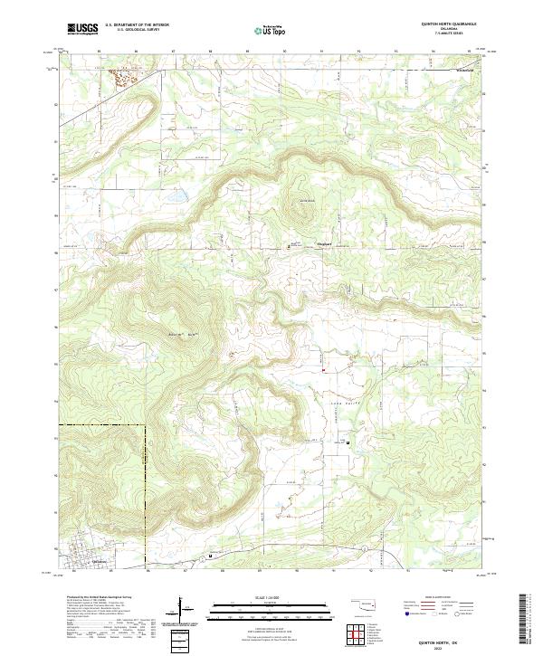
2022 Quinton North
Haskell County, OK

2022 Robert S Kerr Dam
Haskell County, OK
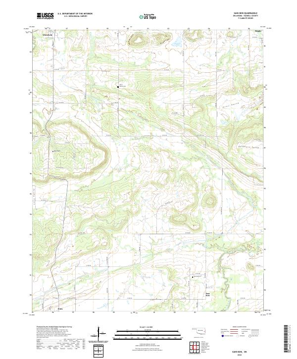
2022 Sans Bois
Haskell County, OK
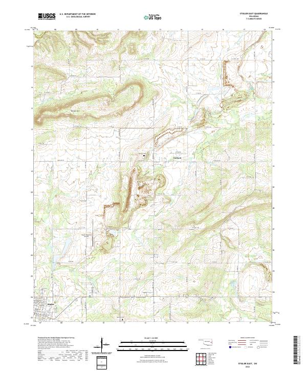
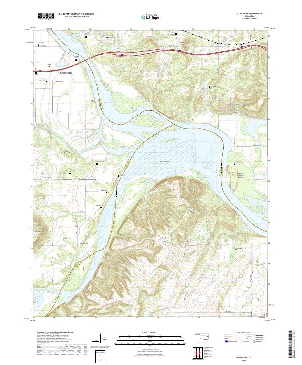
2022 Stigler East
Haskell County, OK
2022 Stigler NE
Haskell County, OK
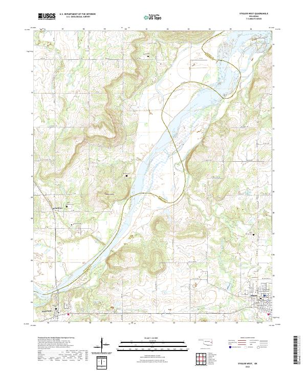
2022 Stigler West
Haskell County, OK