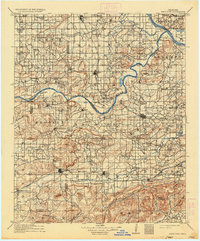
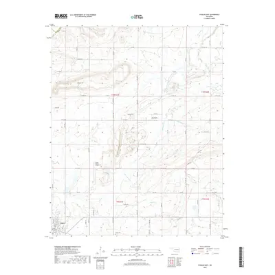
1911 Map of Sans Bois
USGS Topo · Published 1936About this map
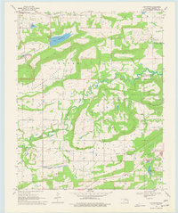
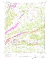
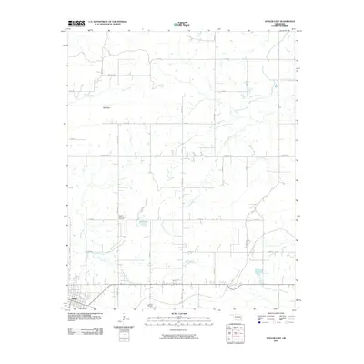
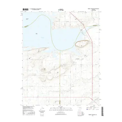
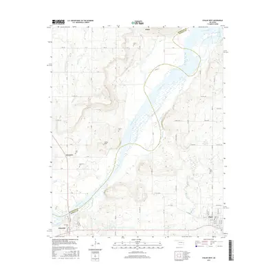
Sans Bois Mountains dominate the southern portion of this region, creating a dramatic physical boundary that shaped the early 20th-century settlement and transport patterns of eastern Oklahoma. The map shows the area shortly after statehood, during a period of transition where the Arkansas River and Canadian River served as primary natural corridors while new steel rails began to define commerce. The Midland Valley railroad cuts through the northeast, passing near Stigler, while the Fort Smith and Western line parallels the southern mountain range, connecting towns like Quinton and Kinta. Notable for genealogists is the high density of rural schoolhouses and local meeting points, such as the Belle Starr School and Pope Chapel, which reflect the distributed nature of community life before the consolidation of these smaller districts.
Find a feature on this map
134 named features on this map. Tap any name to fly to it.
Don’t see what you’re looking for? This feature index may not catch every label — zoom into the map to look around manually.
Map Details
Editions of this 1911 Sans Bois Map
3 editions found

Historical Maps of Stigler Through Time
47 maps found

1909 Sans Bois
Haskell County, OK
1911 Sans Bois
Haskell County, OK
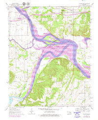
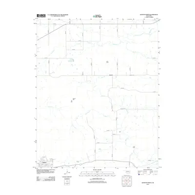
1962 Stigler East
Haskell County, OK
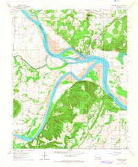
1962 Stigler West
Haskell County, OK
1963 Stigler NE
Haskell County, OK
1964 Stigler NE
Haskell County, OK
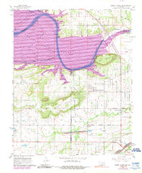
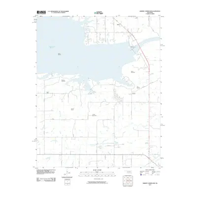
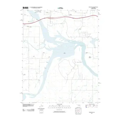
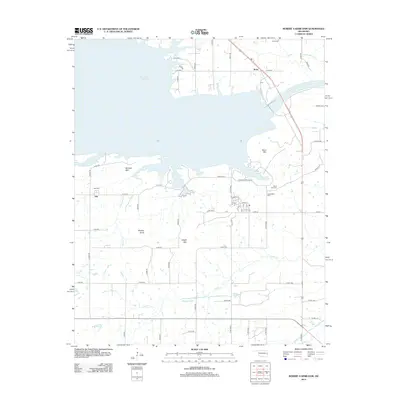
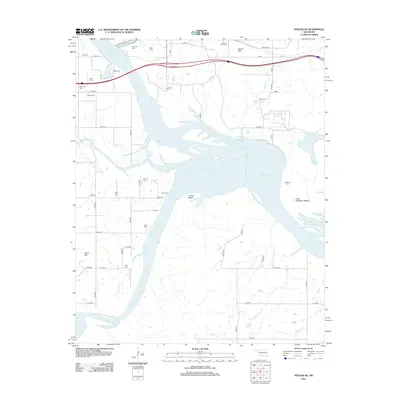
1967 Robert S Kerr Dam
Haskell County, OK
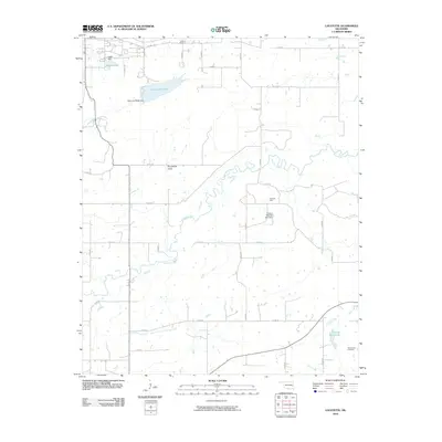
1968 Lafayette
Haskell County, OK
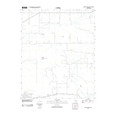
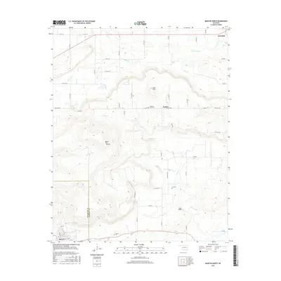
1968 Mc Curtain
Haskell County, OK
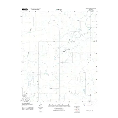
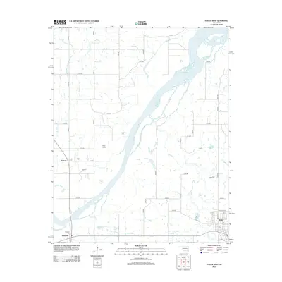
1969 Quinton North
Haskell County, OK
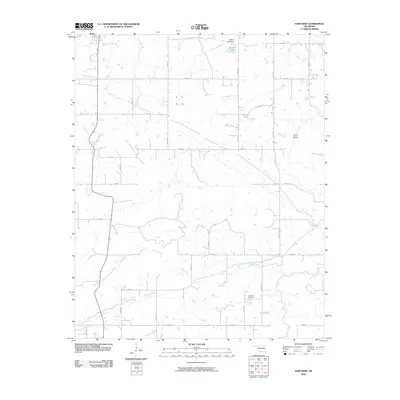
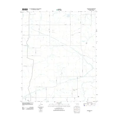
1969 Sans Bois
Haskell County, OK
1977 Mc Curtain
Haskell County, OK
2010 Lafayette
Haskell County, OK
2010 Quinton North
Haskell County, OK
2010 Robert S Kerr Dam
Haskell County, OK
2010 Sans Bois
Haskell County, OK
2010 Stigler East
Haskell County, OK
2010 Stigler NE
Haskell County, OK
2010 Stigler West
Haskell County, OK
2012 Lafayette
Haskell County, OK
2012 Quinton North
Haskell County, OK
2012 Robert S Kerr Dam
Haskell County, OK
2012 Sans Bois
Haskell County, OK
2012 Stigler East
Haskell County, OK
2012 Stigler NE
Haskell County, OK
2012 Stigler West
Haskell County, OK
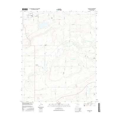
2016 Lafayette
Haskell County, OK
2016 Quinton North
Haskell County, OK
2016 Robert S Kerr Dam
Haskell County, OK
2016 Sans Bois
Haskell County, OK
2016 Stigler East
Haskell County, OK
2016 Stigler NE
Haskell County, OK
2016 Stigler West
Haskell County, OK
2018 Quinton North
Haskell County, OK
2018 Robert S Kerr Dam
Haskell County, OK
2018 Sans Bois
Haskell County, OK
2018 Stigler East
Haskell County, OK
2018 Stigler NE
Haskell County, OK
2018 Stigler West
Haskell County, OK
2019 Lafayette
Haskell County, OK
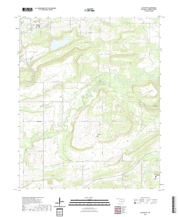
2022 Lafayette
Haskell County, OK
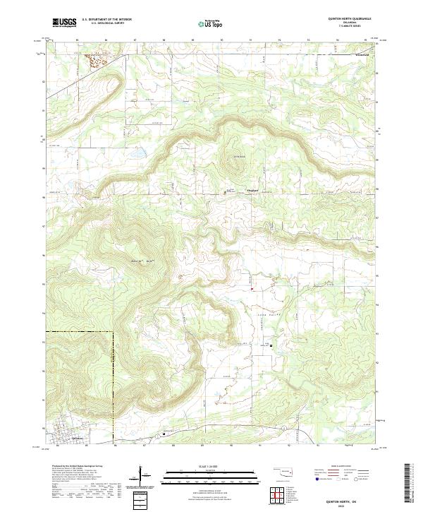
2022 Quinton North
Haskell County, OK

2022 Robert S Kerr Dam
Haskell County, OK
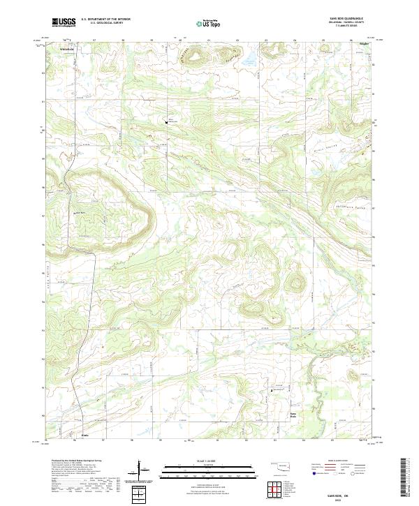
2022 Sans Bois
Haskell County, OK
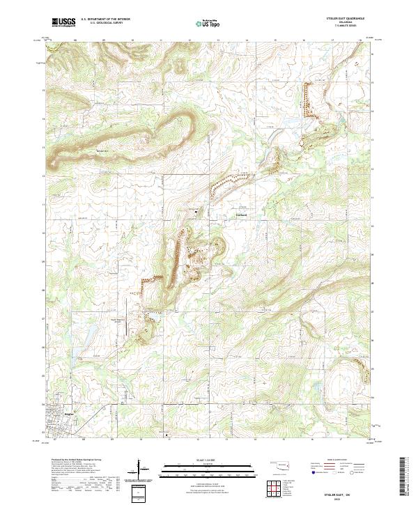
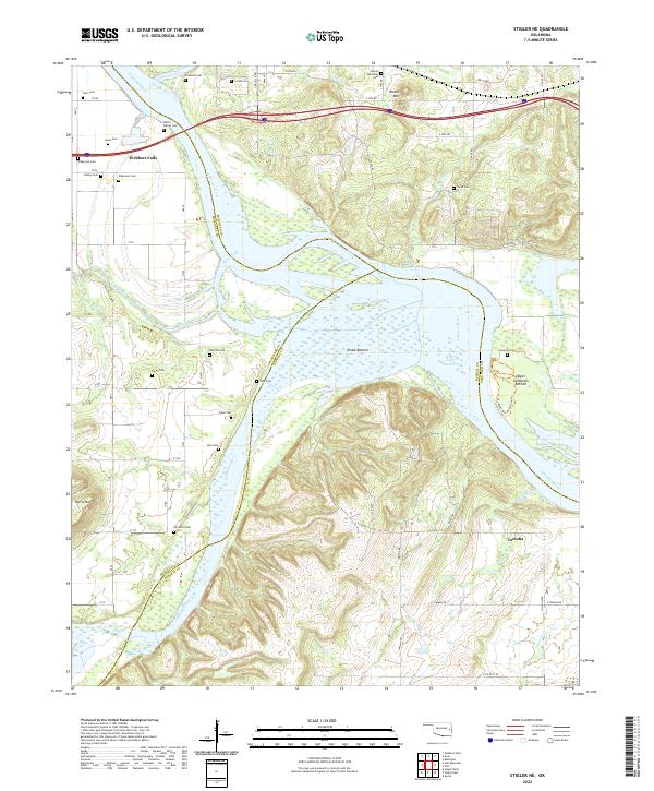
2022 Stigler East
Haskell County, OK
2022 Stigler NE
Haskell County, OK
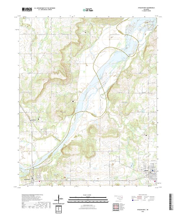
2022 Stigler West
Haskell County, OK