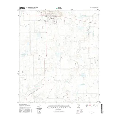
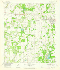
2016 Map of Santa Anna
USGS Topo · Published 2016About this map
Santa Anna Mountains dominate the northern horizon of this Central Texas landscape, overlooking the town of Santa Anna below. The terrain is characterized by an extensive network of water management features, including a series of engineered reservoirs such as Soil Conservation Service Site 14 Reservoir and Soil Conservation Service Site 3 Reservoir. These sites reflect mid-century efforts to control erosion and manage the watershed for local agriculture and flood prevention.
Find a feature on this map
61 named features on this map. Tap any name to fly to it.
Don’t see what you’re looking for? This feature index may not catch every label — zoom into the map to look around manually.
Map Details
Editions of this 2016 Santa Anna Map
This is the sole edition of this map. No revisions or reprints were ever made.
Other maps of this area

1887 · Coleman
USGS Topo · 1:125,000

1889 · Coleman
USGS Topo · 1:125,000

1924 · Brownwood Reservoir Site
USGS Topo · 1:48,000

1927 · Grosvenor
USGS Topo · 1:62,500

1954 · Brownwood
USGS Topo · 1:250,000
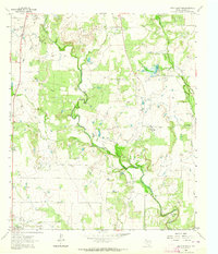
1962 · Speck Mountain
USGS Topo · 1:24,000
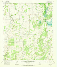
1962 · Trickham
USGS Topo · 1:24,000
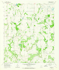
1962 · Gouldbusk
USGS Topo · 1:24,000

1962 · Santa Anna
USGS Topo · 1:24,000
1962 · Bangs West
USGS Topo · 1:24,000