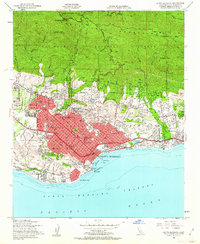
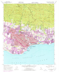
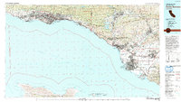
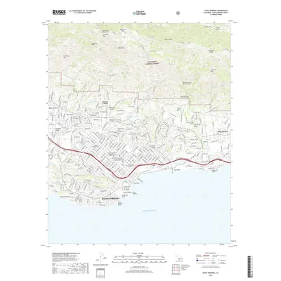
1952 Map of Santa Barbara
USGS Topo · Published 1962About this map
Santa Barbara is depicted here in a period of mid-century transition, with the coastal city constrained by the dramatic rise of the Santa Ynez Mountains to the north. The map showcases a dense network of local schools and civic landmarks, from the historic Santa Barbara Mission and St Anthonys Seminary to the Santa Barbara College campus near the harbor. The Southern Pacific railroad follows the shoreline, passing the Andree Clark Bird Refuge and Santa Barbara Cemetery as it heads toward Montecito.
Find a feature on this map
110 named features on this map. Tap any name to fly to it.
Don’t see what you’re looking for? This feature index may not catch every label — zoom into the map to look around manually.
Map Details
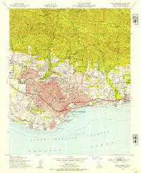
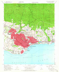
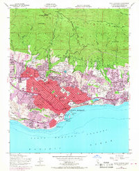
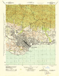
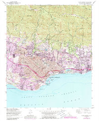
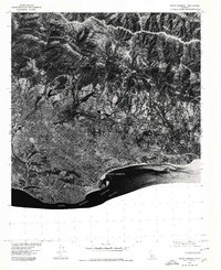
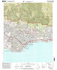
Editions of this 1952 Santa Barbara Map
6 editions found
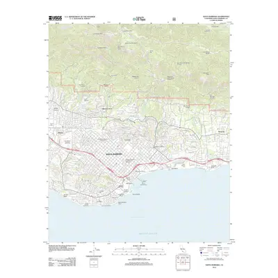
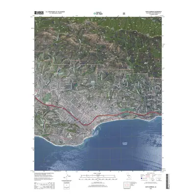
Historical Maps of Santa Barbara Through Time
9 maps found
1944 Santa Barbara
Santa Barbara County, CA
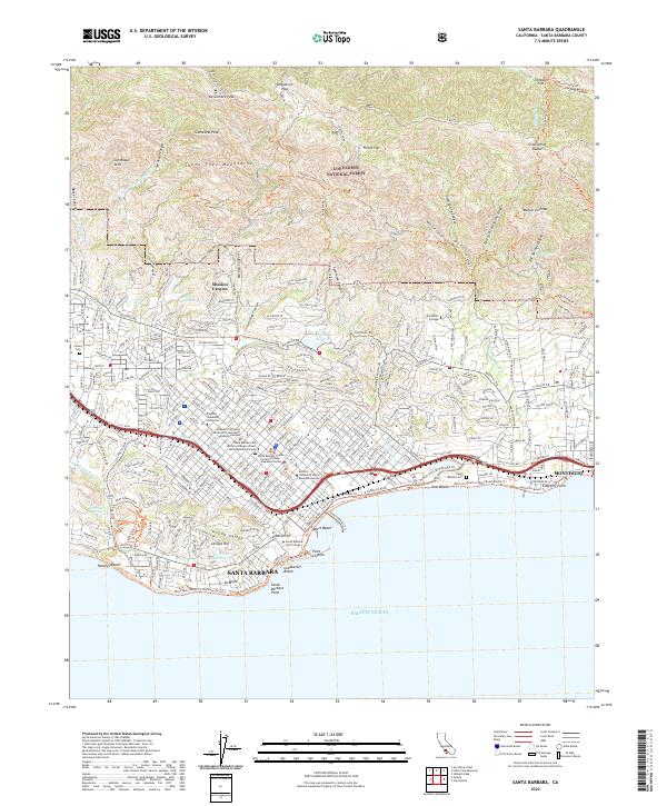
1952 Santa Barbara
Santa Barbara County, CA
1976 Santa Barbara
Santa Barbara County, CA
1982 Santa Barbara
Santa Barbara County, CA
1995 Santa Barbara
Santa Barbara County, CA
2012 Santa Barbara
Santa Barbara County, CA
2015 Santa Barbara
Santa Barbara County, CA
2018 Santa Barbara
Santa Barbara County, CA
2022 Santa Barbara
Santa Barbara County, CA
Featured Locations
- Santa Barbara, CA
- Mission Canyon, CA
- Montecito, CA
- Las Positas Meadows, Santa Barbara
- Vista Del Monte, Santa Barbara