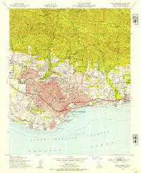
1952 Map of Santa Barbara
USGS Topo · Published 1953About this map
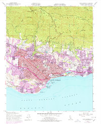
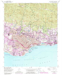
The Pueblo Lands of Santa Barbara meet the Pacific in this 1952 culture revision, showing the city's mid-century expansion toward the foothills. The densely developed grid of Santa Barbara is anchored by institutional landmarks such as the Santa Barbara Mission and the St Anthony's Seminary, while the northern portion of the map is dominated by the steep slopes of the Santa Ynez Mountains. Prominent peaks like La Cumbre Peak and Cathedral Peak tower over the residential canyons. Along the coast, the maritime economy and leisure culture are evident at the Santa Barbara Harbor, Stearns Wharf, and the Cabrillo Pavillion. The transition from urban center to the estates of Montecito is marked by the Southern Pacific rail line and the Montecito Country Club. Educational sites are numerous, including Santa Barbara College and Westmont College, reflecting the area's growth as a center for higher learning.
Find a feature on this map
66 named features on this map. Tap any name to fly to it.
Don’t see what you’re looking for? This feature index may not catch every label — zoom into the map to look around manually.
Map Details
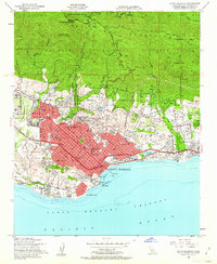
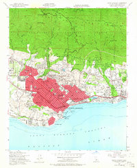
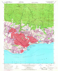
Editions of this 1952 Santa Barbara Map
6 editions found
Other maps of this area

1902 · Santa Ynez
USGS Topo · 1:125,000

1905 · Santa Ynez
USGS Topo · 1:125,000

1941 · San Rafael Mtn.
USGS Topo · 1:62,500

1942 · Goleta
USGS Topo · 1:62,500

1942 · San Rafael Mtn.
USGS Topo · 1:62,500

1942 · Little Pine Mountain
USGS Topo · 1:24,000

1943 · San Rafael Mtn.
USGS Topo · 1:62,500

1943 · Hildreth Peak
USGS Topo · 1:24,000

1944 · Santa Barbara
USGS Topo · 1:31,680
1944 · Carpinteria
USGS Topo · 1:31,680
Featured Places
- Santa Barbara, CA
- Montecito, CA
- Mission Canyon, CA
- Vista Del Monte, Santa Barbara
- Las Positas Meadows, Santa Barbara