
1892 Map of Santa Clara
USGS Topo · Published 1892About this map
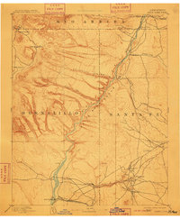
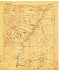
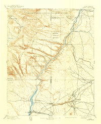
The Rio Grande carves a dramatic path through this 1892 survey, defining the transition between the high volcanic plateaus and the river valley settlements. At the northern edge, the convergence of Santa Clara Creek and Tesugue Creek supports established communities like Española and Santa Cruz. The map illustrates a landscape of cultural significance, noting the positions of several pueblos including San Ildefonso, Santa Clara, and Cochití. To the west, the massive depressions of Valle Grande and Valle Santa Rosa dominate the high country, drained by systems like Pajarito Canyon.
Find a feature on this map
34 named features on this map. Tap any name to fly to it.
Don’t see what you’re looking for? This feature index may not catch every label — zoom into the map to look around manually.
Map Details
Editions of this 1892 Santa Clara Map
4 editions found
Other maps of this area

1888 · Bernalillo
USGS Topo · 1:125,000

1889 · Albuquerque
USGS Topo · 1:125,000

1889 · Santa Fe
USGS Topo · 1:125,000

1890 · Jemes
USGS Topo · 1:125,000

1892 · San Pedro
USGS Topo · 1:125,000

1892 · Jemes
USGS Topo · 1:125,000

1893 · Albuquerque
USGS Topo · 1:125,000

1894 · Santa Fe
USGS Topo · 1:125,000

1894 · Lamy
USGS Topo · 1:125,000

1909 · Gallina
USGS Topo · 1:125,000