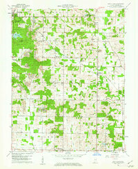
1960 Map of Santa Claus
USGS Topo · Published 1962About this map
Lincoln State Park and the Nancy Hanks Lincoln State Memorial anchor the northwest corner of this Spencer County landscape, preserving the wooded terrain where Abraham Lincoln spent his youth. This 1960 field-checked survey reveals an area defined by a mix of leisure, commemoration, and heavy industry. While travelers visited Santa Claus and Santa Fe to the north, much of the surrounding land was occupied by active extraction. Extensive Strip Mines and numerous Oil Wells are scattered across the quadrangle, particularly around Buffaloville and Clay City. The Southern railroad line cuts through this industrial corridor, connecting smaller settlements like Lamar and Newtonville. Genealogists will find several family-named landmarks and resting places, including Tableman Cem and Meeks Cem, alongside rural social hubs like the Clay-Huff Sch and Mt Zion Ch.
Find a feature on this map
42 named features on this map. Tap any name to fly to it.
Don’t see what you’re looking for? This feature index may not catch every label — zoom into the map to look around manually.
Map Details
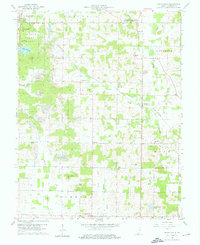
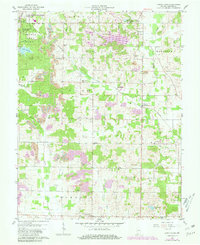
Editions of this 1960 Santa Claus Map
Other maps of this area

1900 · St Meinrad
USGS Topo · 1:62,500

1900 · De Gonia Springs
USGS Topo · 1:62,500

1901 · Owensboro
USGS Topo · 1:62,500

1902 · Ditney
USGS Topo · 1:125,000

1902 · Degonia Springs
USGS Topo · 1:62,500

1903 · St. Meinrad
USGS Topo · 1:62,500

1903 · Tell City
USGS Topo · 1:62,500

1952 · Rockport
USGS Topo · 1:24,000

1953 · Lewisport
USGS Topo · 1:24,000

1953 · Tell City
USGS Topo · 1:24,000