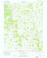
1960 Map of Santa Claus
USGS Topo · Published 1976About this map
Lincoln State Park and the historic Lincoln Cabin Site anchor the northwestern corner of this Spencer County landscape, preserving the early environment of Abraham Lincoln's youth. The 1960 topography reveals a region defined by a dual economy of agriculture and heavy industry, where numerous Strip Mines and clusters of Oil Wells break the rural patterns of the Carter and Clay townships. The Southern railroad connects several small settlements, including Santa Claus, Buffaloville, and Lamar, while a network of country churches like Mt Zion Ch and New Hope Ch serve the surrounding farmsteads.
Find a feature on this map
43 named features on this map. Tap any name to fly to it.
Don’t see what you’re looking for? This feature index may not catch every label — zoom into the map to look around manually.
Map Details
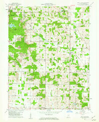
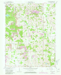
Editions of this 1960 Santa Claus Map
Other maps of this area

1900 · St Meinrad
USGS Topo · 1:62,500

1900 · De Gonia Springs
USGS Topo · 1:62,500

1901 · Owensboro
USGS Topo · 1:62,500

1902 · Ditney
USGS Topo · 1:125,000

1902 · Degonia Springs
USGS Topo · 1:62,500

1903 · St. Meinrad
USGS Topo · 1:62,500

1903 · Tell City
USGS Topo · 1:62,500

1952 · Rockport
USGS Topo · 1:24,000

1953 · Lewisport
USGS Topo · 1:24,000

1953 · Tell City
USGS Topo · 1:24,000