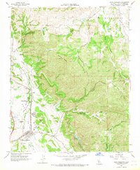
1965 Map of Santa Margarita
USGS Topo · Published 1967About this map
Santa Margarita and its immediate surroundings are documented here in the mid-1960s, showing a landscape defined by the winding Salinas River and the Southern Pacific railroad corridor. The map highlights significant local history through the Asistencia de Santa Margarita (Ruins) and the nearby Santa Margarita Church. Settlement patterns are concentrated in Garden Farms and around the Santa Margarita Cemetery, while the northern terrain climbs toward Granite Ridge and the various branches of Huerhuero Creek.
Find a feature on this map
43 named features on this map. Tap any name to fly to it.
Don’t see what you’re looking for? This feature index may not catch every label — zoom into the map to look around manually.
Map Details
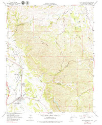
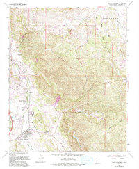
Editions of this 1965 Santa Margarita Map
3 editions found
Other maps of this area

1897 · San Luis Obispo
USGS Topo · 1:62,500

1900 · San Luis
USGS Topo · 1:125,000

1914 · Cholame
USGS Topo · 1:125,000

1915 · Cholame
USGS Topo · 1:125,000

1917 · Cholame
USGS Topo · 1:125,000

1919 · Paso Robles
USGS Topo · 1:62,500

1922 · Pozo
USGS Topo · 1:62,500

1942 · San Luis Obispo
USGS Topo · 1:62,500

1943 · Paso Robles
USGS Topo · 1:62,500

1943 · Shedd Canyon
USGS Topo · 1:31,680