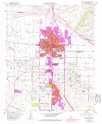
1959 Map of Santa Maria
USGS Topo · Published 1985About this map
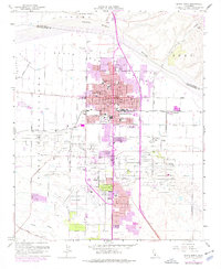
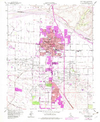
The Santa Maria Valley Oil Field dominates the southern landscape of this mid-century survey, its infrastructure spreading across the valley floor as the region's industrial engine. Significant urban growth is visible in the core of Santa Maria, where a dense network of local schools like the Alvin Ave School and Nightingale School support the expanding residential blocks. To the south, the Santa Maria Airport and the neighboring Santa Maria Country Club reflect the transition from rural to modern suburban development. Transport remains rooted in the Santa Maria Valley RR, which links the central town to smaller industrial outposts and agricultural nodes like Betteravia and Rosemary. Along the northern edge, the Santa Maria River separates the valley from the Nipomo Mesa, while local leisure sites such as Waller Park and the Drive-in Theater serve the community.
Find a feature on this map
54 named features on this map. Tap any name to fly to it.
Don’t see what you’re looking for? This feature index may not catch every label — zoom into the map to look around manually.
Map Details
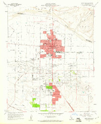
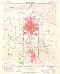
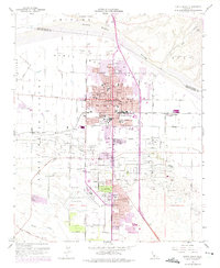
Editions of this 1959 Santa Maria Map
6 editions found
Other maps of this area

1897 · Arroyo Grande
USGS Topo · 1:62,500

1900 · San Luis
USGS Topo · 1:125,000

1905 · Guadalupe
USGS Topo · 1:125,000

1905 · Lompoc
USGS Topo · 1:125,000

1922 · Nipomo
USGS Topo · 1:62,500

1942 · Guadalupe
USGS Topo · 1:125,000

1942 · Lompoc
USGS Topo · 1:125,000

1942 · Arroyo Grande
USGS Topo · 1:62,500

1942 · Santa Maria
USGS Topo · 1:62,500

1942 · Point Sal
USGS Topo · 1:62,500