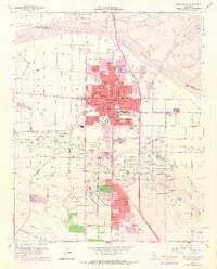
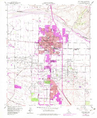
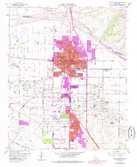
1959 Map of Santa Maria
USGS Topo · Published 1968About this map
Santa Maria anchors this mid-century survey of the Santa Maria Valley, revealing a community balancing agricultural roots with a booming petroleum economy. The northern reaches are defined by the wide, sandy bed of the Santa Maria River and the rising terrain of Nipomo Mesa, while the southern landscape is heavily marked by the Santa Maria Oil Field, dotted with numerous oil wells and an oil refinery. The city's growth is evident in the concentration of educational institutions, including Allan Hancock College and the Joint Union High Sch.
Find a feature on this map
65 named features on this map. Tap any name to fly to it.
Don’t see what you’re looking for? This feature index may not catch every label — zoom into the map to look around manually.
Map Details
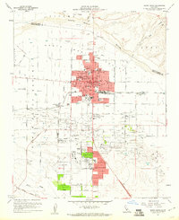
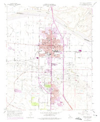
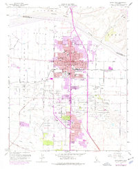
Editions of this 1959 Santa Maria Map
6 editions found
Other maps of this area

1897 · Arroyo Grande
USGS Topo · 1:62,500

1900 · San Luis
USGS Topo · 1:125,000

1905 · Guadalupe
USGS Topo · 1:125,000

1905 · Lompoc
USGS Topo · 1:125,000

1922 · Nipomo
USGS Topo · 1:62,500

1942 · Guadalupe
USGS Topo · 1:125,000

1942 · Lompoc
USGS Topo · 1:125,000

1942 · Arroyo Grande
USGS Topo · 1:62,500

1942 · Santa Maria
USGS Topo · 1:62,500

1942 · Point Sal
USGS Topo · 1:62,500