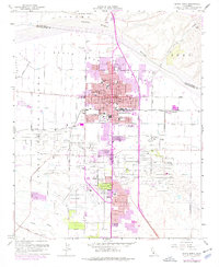
1959 Map of Santa Maria
USGS Topo · Published 1977About this map
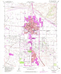
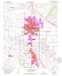
Santa Maria emerges as a bustling central hub on the border of San Luis Obispo and Santa Barbara counties, its grid expanding rapidly as indicated by 1970s purple-tint revisions. The landscape is defined by the massive industrial footprint of the Santa Maria Oil Field, where numerous oil wells and an oil refinery signify the region's mid-century petroleum economy. This industrial character is balanced by established community institutions like Allan Hancock College, the County Fairgrounds, and several local campuses such as El Camino Jr High School and Miller St School. To the south and west, the terrain transitions into the agricultural and resource-rich Santa Maria Valley, dotted with smaller settlements like Betteravia and Midco. The presence of the Santa Maria Airport and the Airbase (Siding) highlights the strategic and commercial infrastructure supporting this Central Coast valley during its post-war growth phase.
Find a feature on this map
66 named features on this map. Tap any name to fly to it.
Don’t see what you’re looking for? This feature index may not catch every label — zoom into the map to look around manually.
Map Details
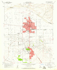
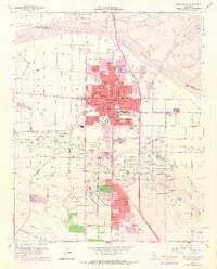
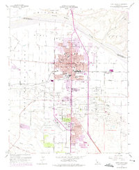
Editions of this 1959 Santa Maria Map
6 editions found
Other maps of this area

1897 · Arroyo Grande
USGS Topo · 1:62,500

1900 · San Luis
USGS Topo · 1:125,000

1905 · Guadalupe
USGS Topo · 1:125,000

1905 · Lompoc
USGS Topo · 1:125,000

1922 · Nipomo
USGS Topo · 1:62,500

1942 · Guadalupe
USGS Topo · 1:125,000

1942 · Lompoc
USGS Topo · 1:125,000

1942 · Arroyo Grande
USGS Topo · 1:62,500

1942 · Santa Maria
USGS Topo · 1:62,500

1942 · Point Sal
USGS Topo · 1:62,500