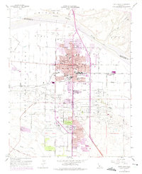
1959 Map of Santa Maria
USGS Topo · Published 1975About this map
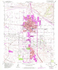
The Santa Maria Valley Railroad cuts through the heart of this coastal valley, connecting the town center to the vast industrial landscape of the Santa Maria Oil Field. The 1950s urban core is densely populated with community institutions like the County Fairgrounds and Allan Hancock College, while the surrounding geography is defined by the Santa Maria River to the north and the rising terrain of Nipomo Mesa. Beyond the residential streets of Santa Maria, the landscape transitions into an intensive production zone marked by numerous Oil Wells, an Oil Refinery, and expansive Gravel Pits. This survey captures the mid-century intersection of a growing agricultural hub and a robust petroleum economy, documenting several local campuses such as the El Camino School and Fairlawn School alongside the regional infrastructure of the Santa Maria Airport and a dedicated Airbase (Siding).
Find a feature on this map
55 named features on this map. Tap any name to fly to it.
Don’t see what you’re looking for? This feature index may not catch every label — zoom into the map to look around manually.
Map Details
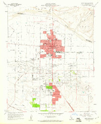
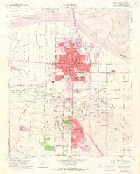
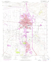
Editions of this 1959 Santa Maria Map
6 editions found
Other maps of this area

1897 · Arroyo Grande
USGS Topo · 1:62,500

1900 · San Luis
USGS Topo · 1:125,000

1905 · Guadalupe
USGS Topo · 1:125,000

1905 · Lompoc
USGS Topo · 1:125,000

1922 · Nipomo
USGS Topo · 1:62,500

1942 · Guadalupe
USGS Topo · 1:125,000

1942 · Lompoc
USGS Topo · 1:125,000

1942 · Arroyo Grande
USGS Topo · 1:62,500

1942 · Santa Maria
USGS Topo · 1:62,500

1942 · Point Sal
USGS Topo · 1:62,500