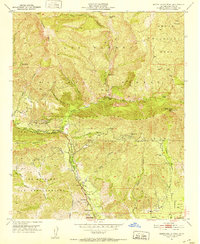
1951 Map of Santa Paula Peak
USGS Topo · Published 1952About this map
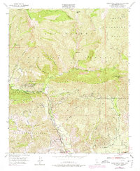
Santa Paula Creek carves a deep path through the southern reaches of the Los Padres National Forest in this early 1950s survey. The landscape is defined by the sharp transition from the residential and agricultural outskirts of Santa Paula to the steep, fuel-rich canyons of the Santa Paula Ridge. Industrial activity is evident throughout the southern foothills, where numerous oil wells, oil tanks, and a quarry signal the extraction economy of the era.
Find a feature on this map
52 named features on this map. Tap any name to fly to it.
Don’t see what you’re looking for? This feature index may not catch every label — zoom into the map to look around manually.
Map Details
Editions of this 1951 Santa Paula Peak Map
6 editions found
Other maps of this area

1900 · Piru
USGS Topo · 1:62,500

1903 · Santa Paula
USGS Topo · 1:62,500

1903 · Mt. Pinos
USGS Topo · 1:125,000

1903 · Tejon
USGS Topo · 1:125,000

1903 · Camulos
USGS Topo · 1:125,000

1921 · Piru
USGS Topo · 1:62,500

1941 · Piru
USGS Topo · 1:62,500

1942 · Santa Paula
USGS Topo · 1:62,500

1943 · Topatopa Mountains
USGS Topo · 1:24,000

1943 · Lion Canyon
USGS Topo · 1:24,000