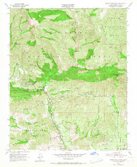
1951 Map of Santa Paula Peak
USGS Topo · Published 1966About this map
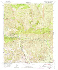
Santa Paula Ridge dominates this mid-century landscape in Ventura County, where the transition from agricultural valley to high wilderness is clearly defined by the boundary of the Los Padres National Forest. The map documents a significant industrial footprint within the hills, notably the numerous Oil Wells and storage infrastructure clustered in Anlauf Canyon and around Sulphur Mountain. This oil extraction economy operates alongside established ranching interests like Ferndale Ranch and local institutions such as Mupu School. To the north, the terrain becomes increasingly inaccessible, marked only by remote outposts like Last Chance Camp and Bluff Camp, and the rugged Sespe Wildlife Area. The presence of the Ex Mission San Buenaventura boundary reflects the region's deeper colonial land grant history, while the steep grades of Santa Paula Canyon and Sisar Canyon showcase the area's natural hydrology.
Find a feature on this map
38 named features on this map. Tap any name to fly to it.
Don’t see what you’re looking for? This feature index may not catch every label — zoom into the map to look around manually.
Map Details
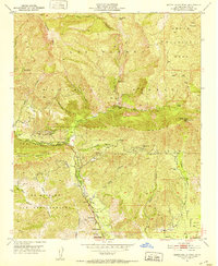
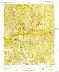
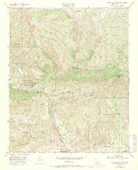
Editions of this 1951 Santa Paula Peak Map
6 editions found
Other maps of this area

1900 · Piru
USGS Topo · 1:62,500

1903 · Santa Paula
USGS Topo · 1:62,500

1903 · Mt. Pinos
USGS Topo · 1:125,000

1903 · Tejon
USGS Topo · 1:125,000

1903 · Camulos
USGS Topo · 1:125,000

1921 · Piru
USGS Topo · 1:62,500

1941 · Piru
USGS Topo · 1:62,500

1942 · Santa Paula
USGS Topo · 1:62,500

1943 · Topatopa Mountains
USGS Topo · 1:24,000

1943 · Lion Canyon
USGS Topo · 1:24,000