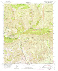
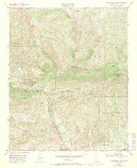
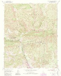
1951 Map of Santa Paula Peak
USGS Topo · Published 1975About this map
The rugged interface of the Los Padres National Forest and the industrializing canyons north of Santa Paula are captured in this mid-century survey. The landscape is defined by the sharp rise of Sulphur Mountain and the deep incisions of Santa Paula Canyon and Sisar Canyon. While much of the terrain remains designated as the Sespe Wildlife Area, the southern reaches show a complex network of Oil Wells and Oil Tanks that fueled the local economy. Historical boundaries like the Ex Mission San Buenaventura persist across the hills, marking the transition from agricultural valley floor to the high wilderness of Topatopa Bluff and Santa Paula Peak. Small outposts such as Sulphur Springs, Ferndale Ranch, and the Mupu School provide essential markers for local history and genealogical research in this part of Ventura County.
Find a feature on this map
42 named features on this map. Tap any name to fly to it.
Don’t see what you’re looking for? This feature index may not catch every label — zoom into the map to look around manually.
Map Details
Editions of this 1951 Santa Paula Peak Map
6 editions found
Other maps of this area

1900 · Piru
USGS Topo · 1:62,500

1903 · Santa Paula
USGS Topo · 1:62,500

1903 · Mt. Pinos
USGS Topo · 1:125,000

1903 · Tejon
USGS Topo · 1:125,000

1903 · Camulos
USGS Topo · 1:125,000

1921 · Piru
USGS Topo · 1:62,500

1941 · Piru
USGS Topo · 1:62,500

1942 · Santa Paula
USGS Topo · 1:62,500

1943 · Topatopa Mountains
USGS Topo · 1:24,000

1943 · Lion Canyon
USGS Topo · 1:24,000