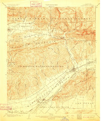
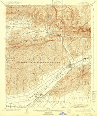
1903 Map of Santa Paula
USGS Topo · Published 1910About this map
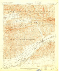
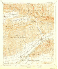
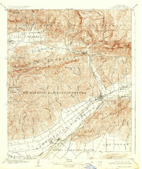
Santa Paula serves as the focal point of this coastal California landscape at the turn of the century, positioned at the confluence of Santa Paula Creek and the Santa Clara River. The map details a period of transition where traditional land grants like Ex Mission Sanbuenaventura and Canada Larga O Verde meet the modern infrastructure of the S. P. R. R. and Southern Pacific railroads. To the north, the rugged southern flank of the Santa Barbara National Forest rises toward Topatopa Bluff and Nordhoff Pk, overlooking the Ojai Valley and the settlement of Nordhoff. The terrain is defined by a dense network of drainages including Sisar Canyon, Wheeler Canyon, and Adams Canyon, which carve through the prominent ridge of Sulphur Mountain. This survey effectively documents the agricultural and early industrial footprint of the region before the extensive 20th-century suburban expansion.
Find a feature on this map
62 named features on this map. Tap any name to fly to it.
Don’t see what you’re looking for? This feature index may not catch every label — zoom into the map to look around manually.
Map Details
Editions of this 1903 Santa Paula Map
6 editions found
Other maps of this area

1900 · Triunfo Pass
USGS Topo · 1:62,500

1900 · Piru
USGS Topo · 1:62,500

1903 · Santa Paula
USGS Topo · 1:62,500

1903 · Mt. Pinos
USGS Topo · 1:125,000

1903 · Tejon
USGS Topo · 1:125,000

1903 · Camulos
USGS Topo · 1:125,000

1904 · Ventura
USGS Topo · 1:62,500

1904 · Hueneme
USGS Topo · 1:62,500

1921 · Piru
USGS Topo · 1:62,500

1921 · Triunfo Pass
USGS Topo · 1:62,500