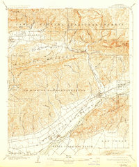
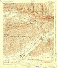
1903 Map of Santa Paula
USGS Topo · Published 1927About this map
Santa Paula serves as the focal point of this early 20th-century landscape, situated along the Santa Clara River and the tracks of the S. P. R. R. railroad. The map illustrates the transition from the agricultural valley floor to the high peaks of the Santa Barbara National Forest, featuring prominent landmarks like Topatopa Bluff and Sulphur Mountain. The large land grant of Ex Mission Sanbuenaventura dominates the central portion of the quadrangle, reflecting the region's Spanish colonial heritage and early land tenure patterns.
Find a feature on this map
65 named features on this map. Tap any name to fly to it.
Don’t see what you’re looking for? This feature index may not catch every label — zoom into the map to look around manually.
Map Details
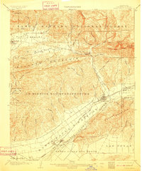
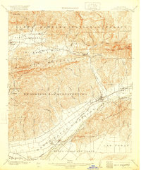
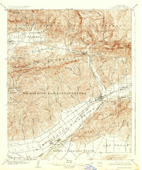
Editions of this 1903 Santa Paula Map
6 editions found
Other maps of this area

1900 · Triunfo Pass
USGS Topo · 1:62,500

1900 · Piru
USGS Topo · 1:62,500

1903 · Santa Paula
USGS Topo · 1:62,500

1903 · Mt. Pinos
USGS Topo · 1:125,000

1903 · Tejon
USGS Topo · 1:125,000

1903 · Camulos
USGS Topo · 1:125,000

1904 · Ventura
USGS Topo · 1:62,500

1904 · Hueneme
USGS Topo · 1:62,500

1921 · Piru
USGS Topo · 1:62,500

1921 · Triunfo Pass
USGS Topo · 1:62,500