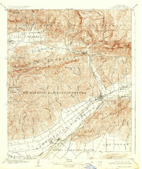
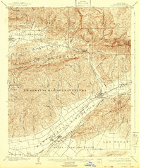
1903 Map of Santa Paula
USGS Topo · Published 1937About this map
The agrarian and mountain landscapes of Ventura County are preserved here as they existed during the opening years of the 20th century. At the center of the valley floor, Santa Paula serves as a focal point for the region's development, surrounded by expansive land grants like Ex Mission San Buenaventura and Santa Clara Del Norte. The Southern Pacific railroad follows the lowlands, connecting the growing hubs of Saticoy and Montalvo to the coast and interior markets.
Find a feature on this map
65 named features on this map. Tap any name to fly to it.
Don’t see what you’re looking for? This feature index may not catch every label — zoom into the map to look around manually.
Map Details
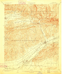
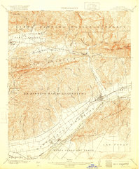
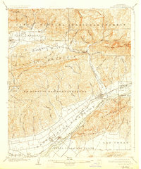
Editions of this 1903 Santa Paula Map
6 editions found
Other maps of this area

1900 · Triunfo Pass
USGS Topo · 1:62,500

1900 · Piru
USGS Topo · 1:62,500

1903 · Santa Paula
USGS Topo · 1:62,500

1903 · Mt. Pinos
USGS Topo · 1:125,000

1903 · Tejon
USGS Topo · 1:125,000

1903 · Camulos
USGS Topo · 1:125,000

1904 · Ventura
USGS Topo · 1:62,500

1904 · Hueneme
USGS Topo · 1:62,500

1921 · Piru
USGS Topo · 1:62,500

1921 · Triunfo Pass
USGS Topo · 1:62,500