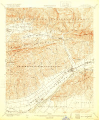
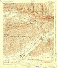
1903 Map of Santa Paula
USGS Topo · Published 1920About this map
The Santa Clara River flows through a landscape defined by expansive land grants and a burgeoning citrus and rail economy at the start of the 20th century. This territory, spanning from the valley floor to the high ridges of the Santa Barbara National Forest, reflects a transition from colonial-era ranchos to modern agriculture. The massive boundaries of Ex Mission San Buenaventura and Santa Clara del Norte still dictate the geographic structure of the region, while the Southern Pacific tracks through Santa Paula and Saticoy indicate the arrival of industrial connectivity. Dozens of family-named canyons, such as Wheeler Canyon and Adams Canyon, drain into the river valley from the heights of Sulphur Mountain, showcasing a rugged topography that shaped early settlement patterns and the development of the Ojai Valley.
Find a feature on this map
59 named features on this map. Tap any name to fly to it.
Don’t see what you’re looking for? This feature index may not catch every label — zoom into the map to look around manually.
Map Details
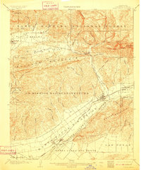
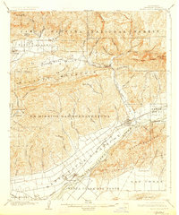
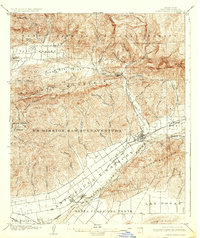
Editions of this 1903 Santa Paula Map
6 editions found
Other maps of this area

1900 · Triunfo Pass
USGS Topo · 1:62,500

1900 · Piru
USGS Topo · 1:62,500

1903 · Santa Paula
USGS Topo · 1:62,500

1903 · Mt. Pinos
USGS Topo · 1:125,000

1903 · Tejon
USGS Topo · 1:125,000

1903 · Camulos
USGS Topo · 1:125,000

1904 · Ventura
USGS Topo · 1:62,500

1904 · Hueneme
USGS Topo · 1:62,500

1921 · Piru
USGS Topo · 1:62,500

1921 · Triunfo Pass
USGS Topo · 1:62,500