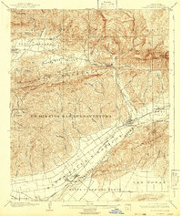
1903 Map of Santa Paula
USGS Topo · Published 1942About this map
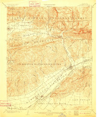
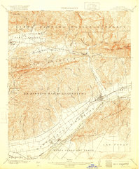
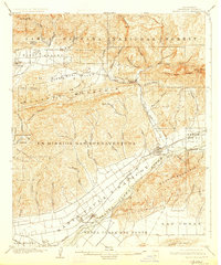
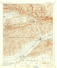
The Santa Clara River valley dominates this early 20th-century landscape, serving as the primary corridor for the Southern Pacific railroad and early Ventura County commerce. At the center lies Santa Paula, surrounded by expansive land grants such as the Ex Mission Sanbuenaventura and Santa Paula y Saticoy. The map reveals the early industrial footprint of the region with labeled petroleum sites like Sespe No. 1 and Sespe No. 2, alongside the Salt Marsh and various water sources like the Sulphur Spring. To the north, the terrain rises sharply into the Los Padres National Forest, where features like Topatopa Bluff and Nordhoff Pk overlook the Ojai and Upper Ojai Valley. This topography highlights the contrast between the fertile agricultural and ranching plains near Saticoy and the steep, canyon-cut ridges of Sulphur Mountain.
Find a feature on this map
66 named features on this map. Tap any name to fly to it.
Don’t see what you’re looking for? This feature index may not catch every label — zoom into the map to look around manually.
Map Details
Editions of this 1903 Santa Paula Map
6 editions found
Other maps of this area

1900 · Triunfo Pass
USGS Topo · 1:62,500

1900 · Piru
USGS Topo · 1:62,500

1903 · Santa Paula
USGS Topo · 1:62,500

1903 · Mt. Pinos
USGS Topo · 1:125,000

1903 · Tejon
USGS Topo · 1:125,000

1903 · Camulos
USGS Topo · 1:125,000

1904 · Ventura
USGS Topo · 1:62,500

1904 · Hueneme
USGS Topo · 1:62,500

1921 · Piru
USGS Topo · 1:62,500

1921 · Triunfo Pass
USGS Topo · 1:62,500