
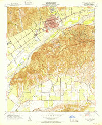
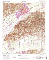
1951 Map of Santa Paula
USGS Topo · Published 1980About this map
Santa Paula sits at the base of the Santa Paula Ridge, where the Santa Paula Creek flows south into the broad Santa Clara River valley. This 1951 record, updated with 1967 aerial revisions, shows a landscape defined by the citrus industry and oil production, with Limoneira and Haines appearing alongside the Southern Pacific railroad line. The settlement pattern reflects a robust local infrastructure, marked by numerous educational institutions including Union High Sch, McKevett Sch, and St Sebastian School.
Find a feature on this map
62 named features on this map. Tap any name to fly to it.
Don’t see what you’re looking for? This feature index may not catch every label — zoom into the map to look around manually.
Map Details
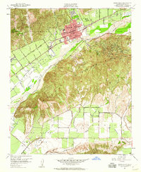
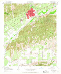
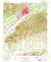
Editions of this 1951 Santa Paula Map
6 editions found
Other maps of this area

1900 · Triunfo Pass
USGS Topo · 1:62,500

1900 · Piru
USGS Topo · 1:62,500

1903 · Santa Paula
USGS Topo · 1:62,500

1903 · Camulos
USGS Topo · 1:125,000

1904 · Hueneme
USGS Topo · 1:62,500

1921 · Piru
USGS Topo · 1:62,500

1921 · Triunfo Pass
USGS Topo · 1:62,500

1941 · Piru
USGS Topo · 1:62,500

1942 · Santa Paula
USGS Topo · 1:62,500

1942 · Hueneme
USGS Topo · 1:62,500